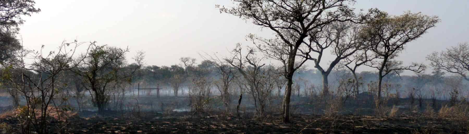


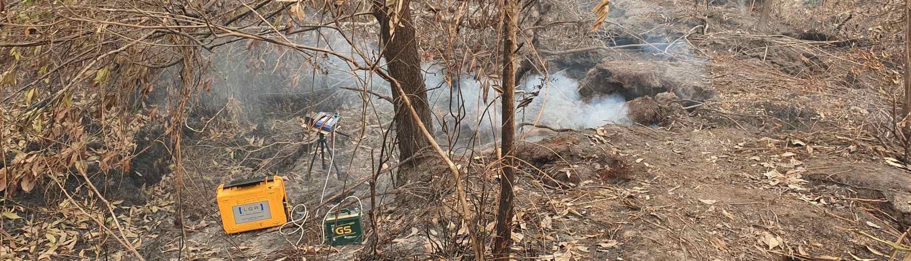
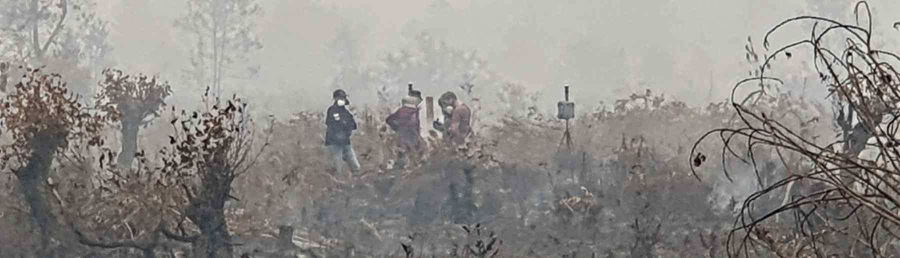
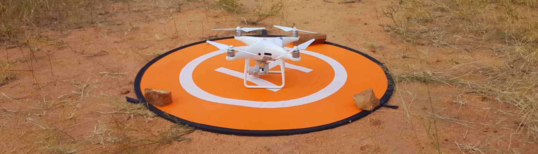
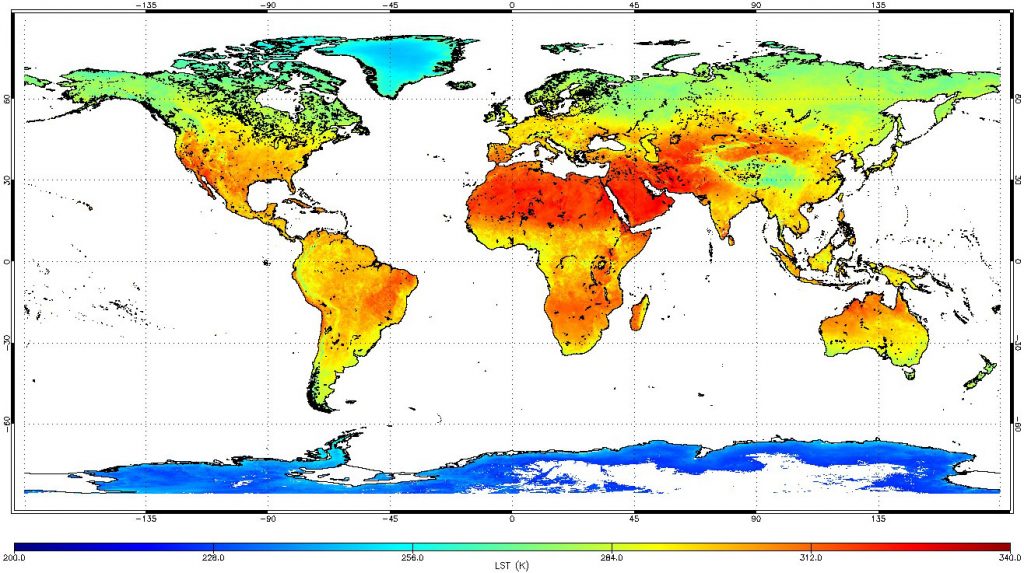
Since 2000 satellite observations of the Earth have exploded in quantity and quality – first under the NASA EOS programme and more recently the European Copernicus programme responsible for the Sentinel satellites. This explosion of data allows for even more detailed and dynamic investigation of land surface/biosphere-atmosphere transfer mechanisms and related research topics. We use satellite data and daat collected by airborne and ground-based sensors to address certain scientific (and sometimes even societal) problems at the local to global scale. We work often with thermal remote sensing methods, undertaking a ‘full-cycle’ of analysis from ground validation of satellite products using in situ radiometers and airborne infrared imagery, through to spectral emissivity measurements in the laboratory and field and the processing of satellite data – including operational pipeline creation. Much of the work under this theme is conducted as part of our wider research programme on landscape fire science.
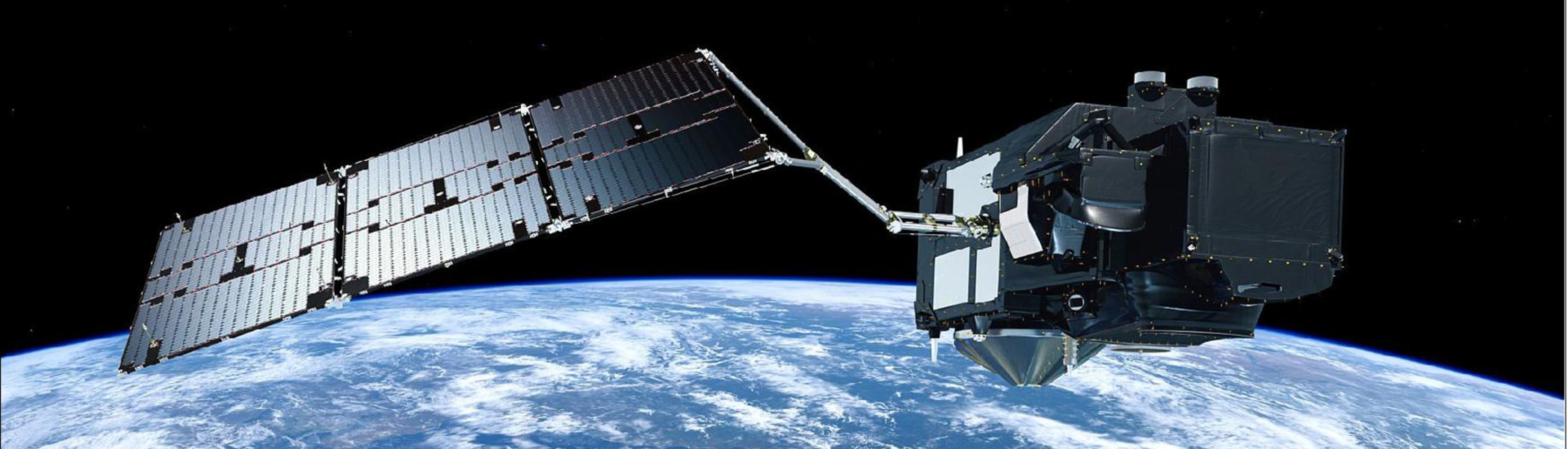
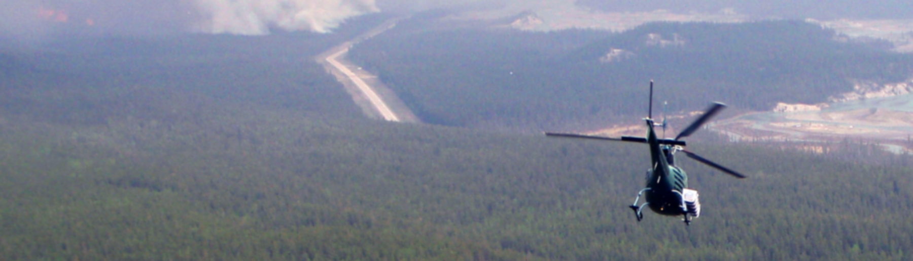
We coordinated airborne campaigns as a part of the NASA-ESA Temperature Sensing Experiment (NETSense) project. The primary aim was to collect data to support the proposed future European High Spatio-Temporal Resolution Land Surface Temperature Monitoring (LSTM) mission, a candidate future Sentinel satellite. LSTM aims to address water, agriculture and food security issues by aiding the monitoring of land surface temperature (LST), evapotranspiration and crop water use at the European field scale. The objective is to enable more robust estimates of field-scale water productivity and consequent agricultural parameters.
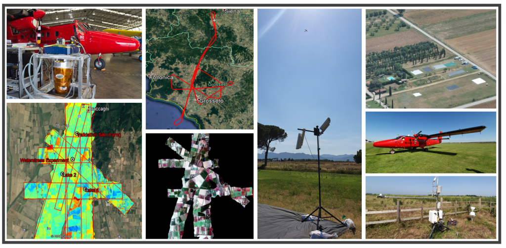
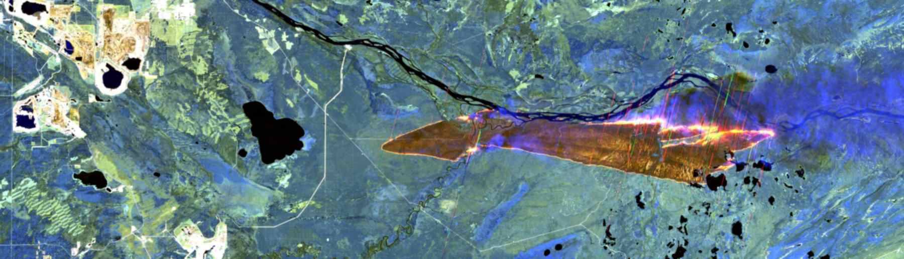
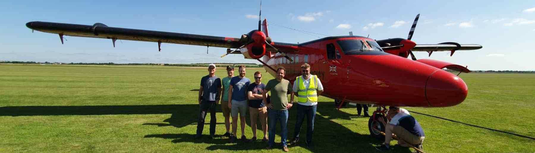
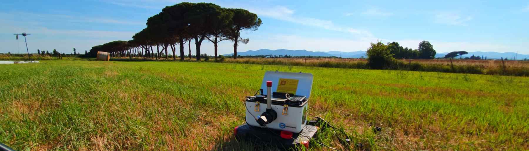
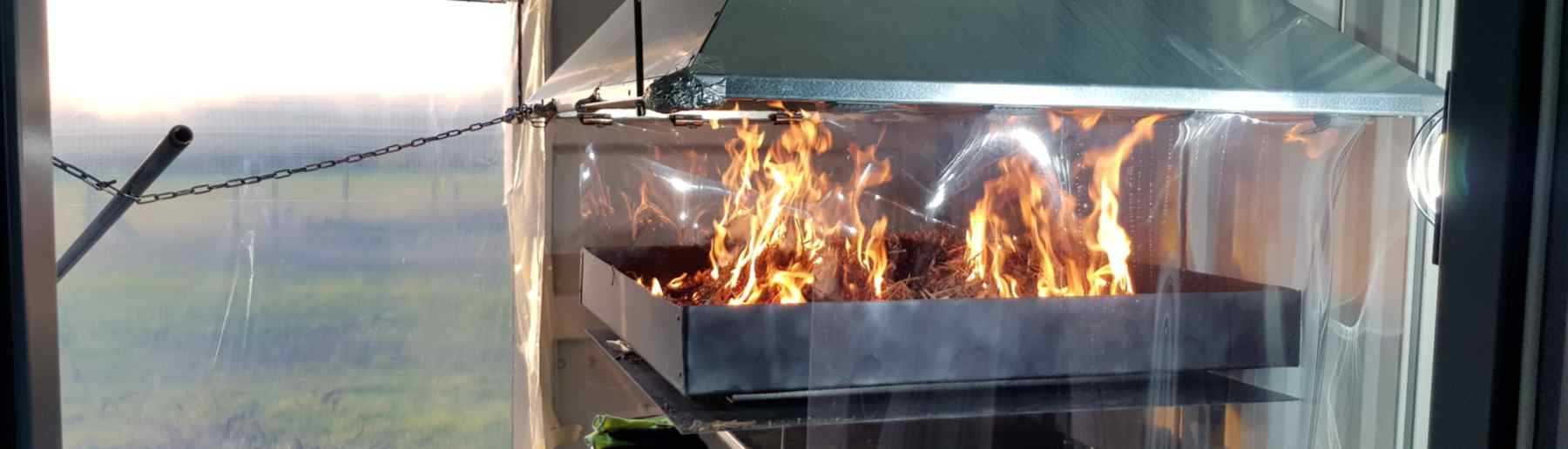
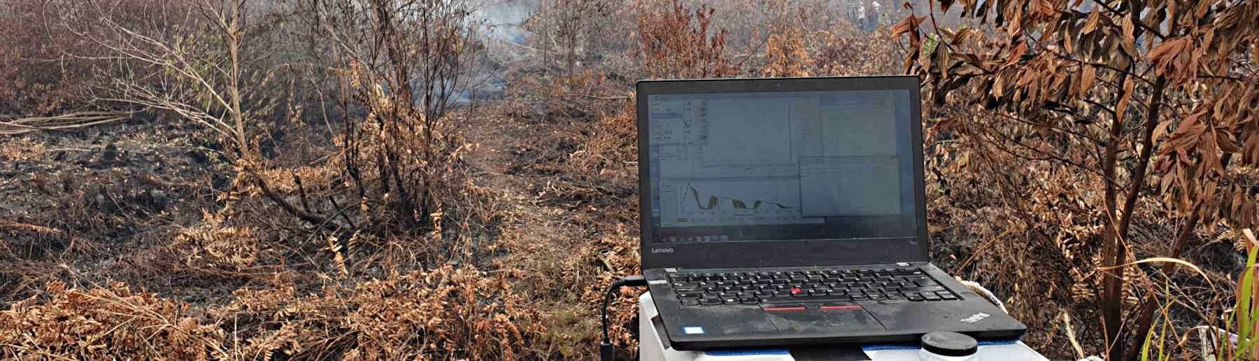
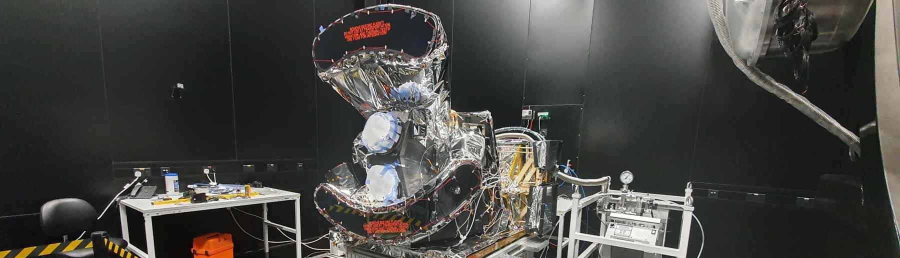
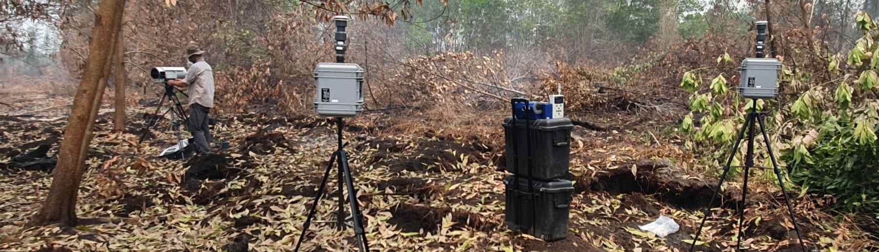
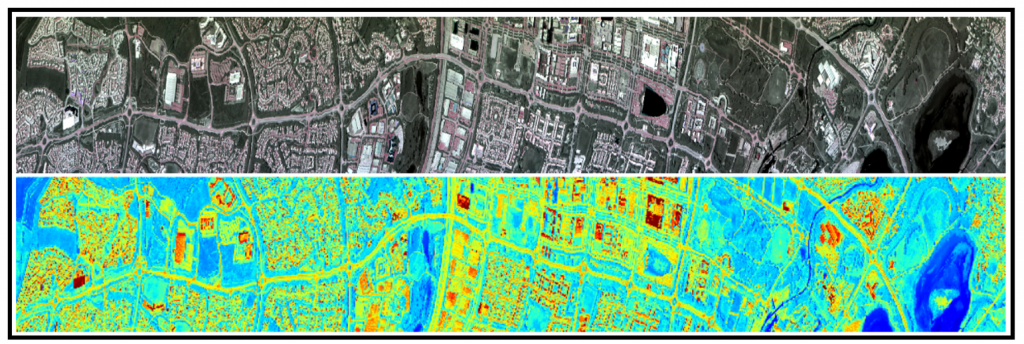
To achieve the NETSense objectives, a field campaign was conducted in and around Grosseto (Italy) and in the UK in the summer of 2019, focused on airborne and ground-based data collection. over agricultural sites as well as lakes, airfields and urban areas. Airborne data were collected from the NERC BAS Twin Otter aircraft to which was fitted the HyTES sensor, which is a state-of-the-art thermal infrared hyperspectral imager designed, manufactured and operated by NASA-JPL. This is the first time HyTES had been operated outside of the USA. We also flew a Fenix (VNIR to SWIR wavelengths) hyperspectral sensor alongside HyTES. In situ data on LST, surface spectral emissivity, AOD and other parameters of importance were collected close to or coincident to each flight to help evaluate the quality of the airborne data, and to provide measurements that ultimately will go into evaluating the performance of the algorithms that will be designed for use with the LSTM mission, for example to estimate field-scale evapotranspiration.
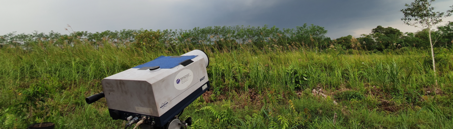
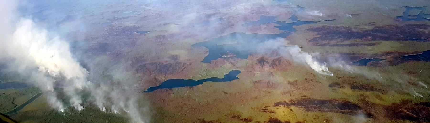
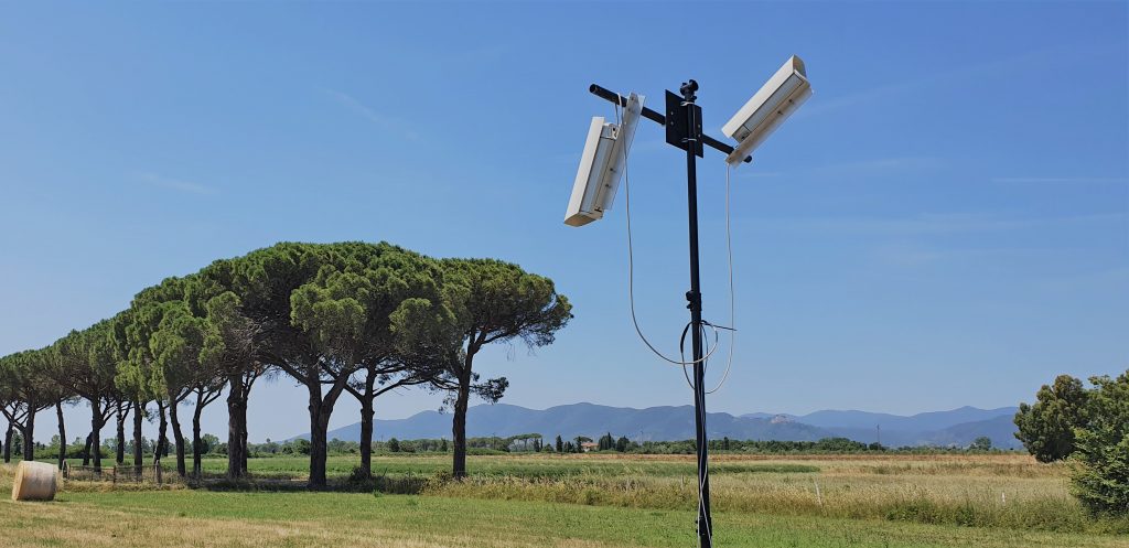
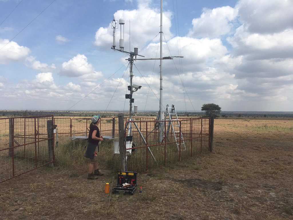
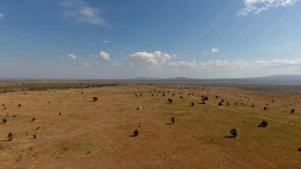
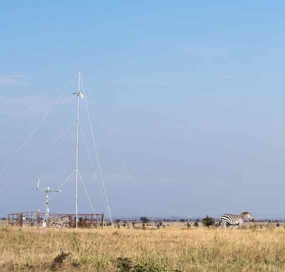
We developed a significant satellite product validation facility in east Africa, located at Kapiti Ranch just outside Nairobi (Kenya) and in partnership with the International Livestock Research Institute (ILRI). Focused primarily on land surface temperature (LST), energy balance and GHG fluxes, the automated station collects data many hundreds of times per day which are used to evaluate how different satellite products perform in the region, as well as supporting individual science studies on, for example, savannah science. The station was in part funded by NCEO and the UK Space Agency Pest Risk Information SErvice (PRISE) project, which aimed to combine satellite Earth Observation (EO) monitoring, plant-pest life cycle modelling and weather forecasting to test whether the arrival of crop pests could be forecast usefully in advance to provide an information service for African farmers.
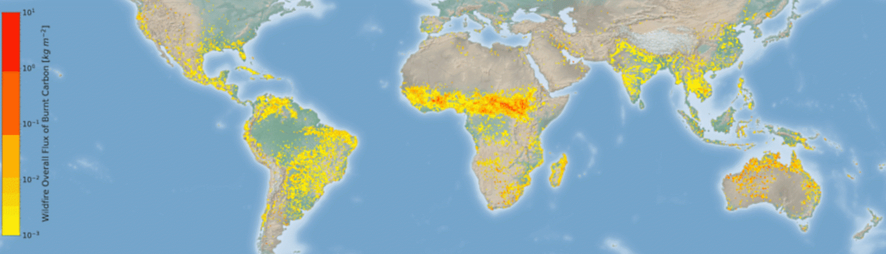
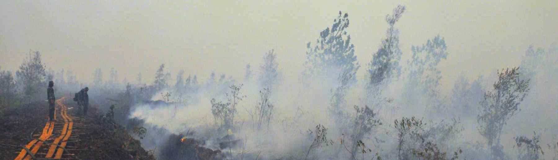
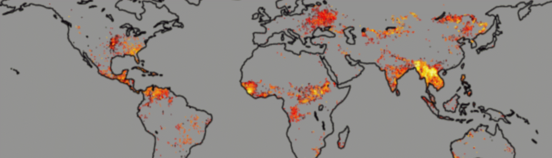
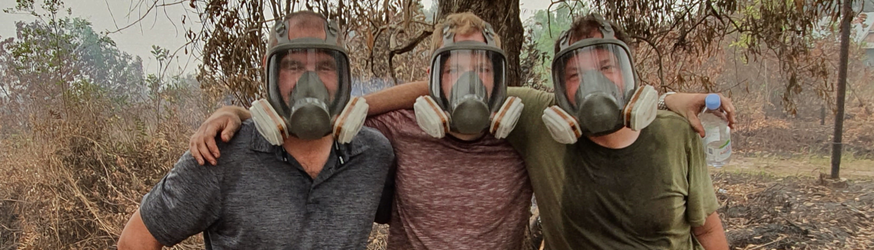
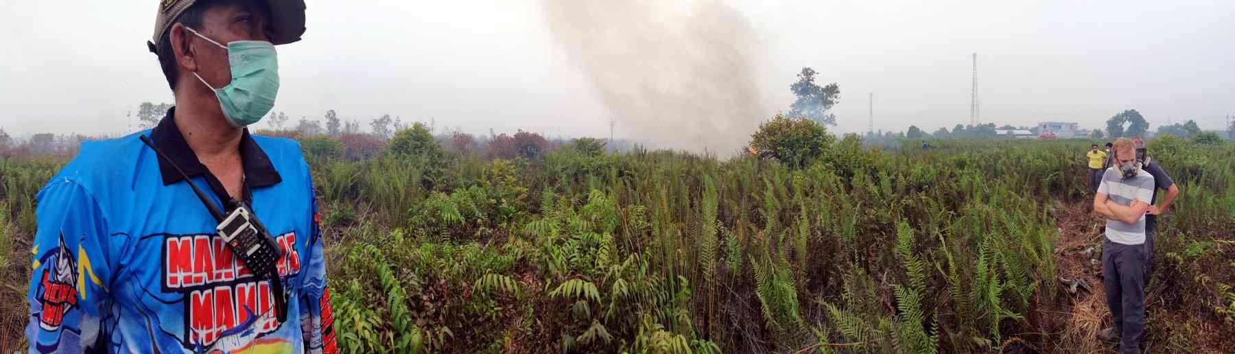
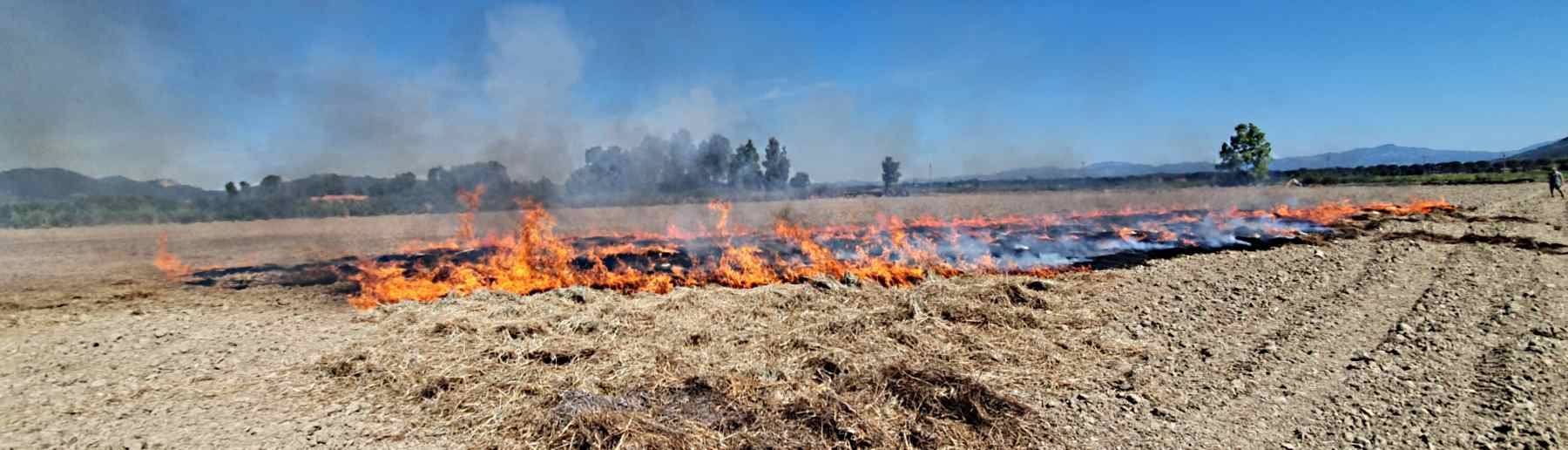
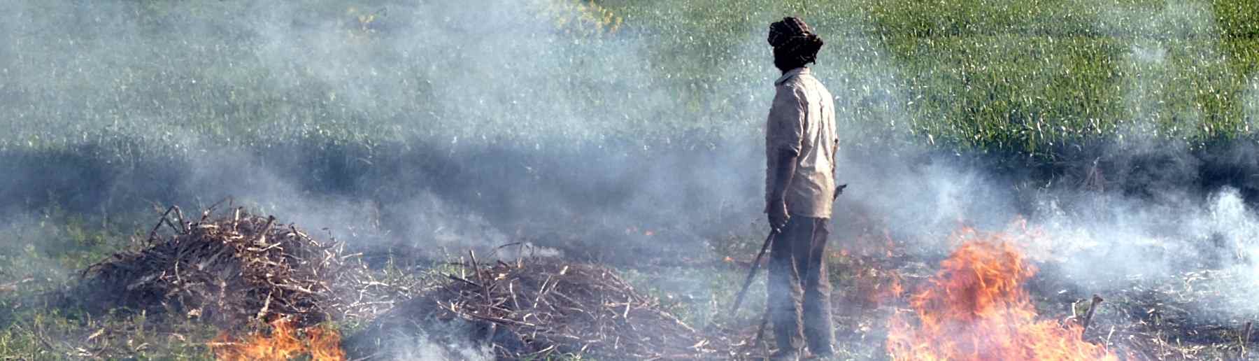
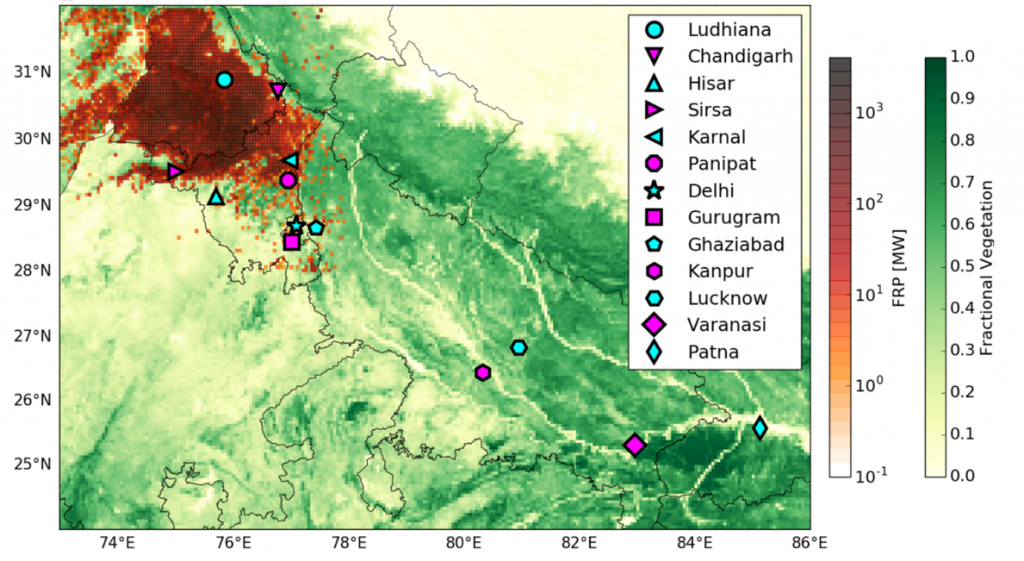
Outdoor air pollution is the world’s greatest environmental health risk, and the fine particulate matter (PM2.5) component is the most problematic component and a leading cause of morbidity and premature death worldwide. In recent years, a series of severe post-monsoon air pollution episodes have engulfed parts of Northern India, leading to state governments enforcing bans on crop residue burning [CRB], which was believed to be a major source. However, at present many farmers have few affordable alternatives for removing residue material, so burning remains widespread and is believed to significantly affect air quality for hundreds of km along the Indo-Gangetic Plain (IGP), including in the Capital Delhi. Together with scientists from the University of Leicester, Imperial College and a number of Indian research centers and Universities, we investigated just how much of the PM2.5 in Delhi and elsewhere resulted from the CRB fires in NW India.
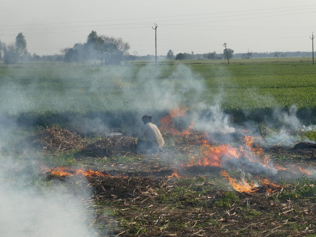
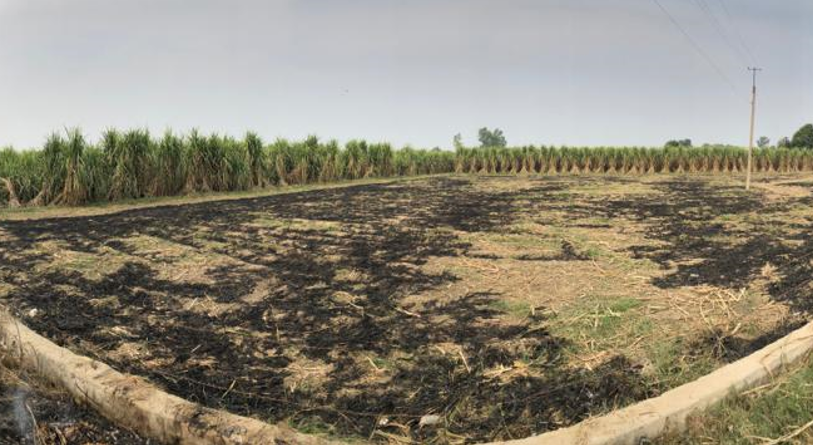
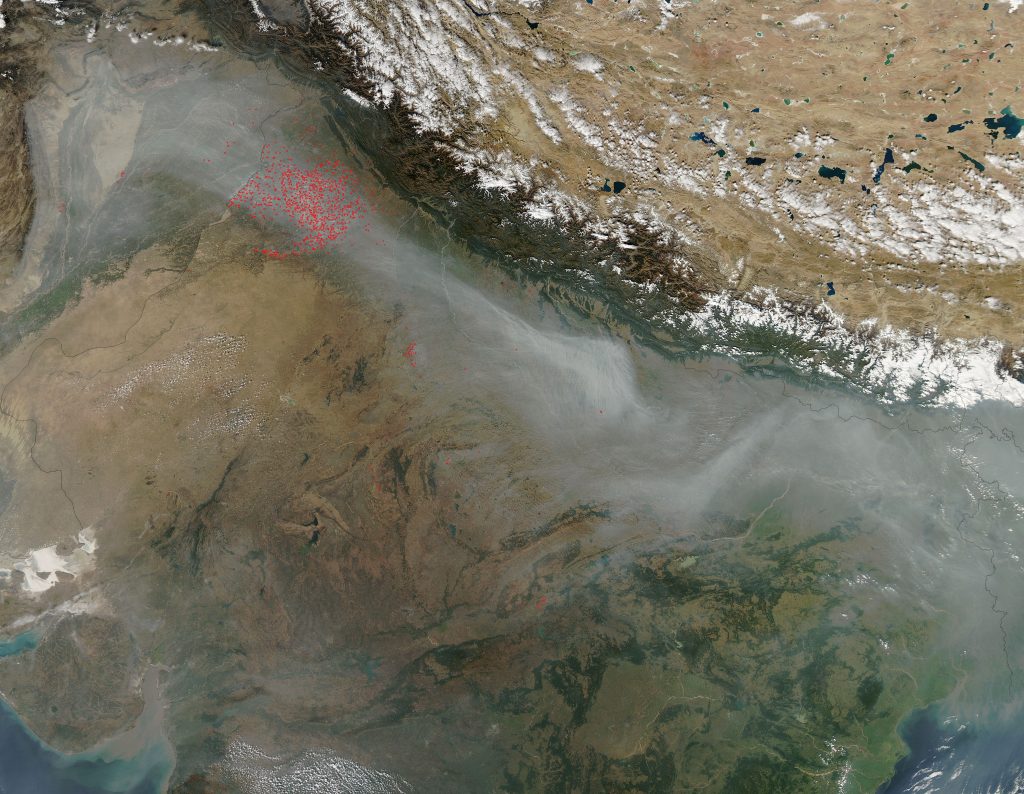
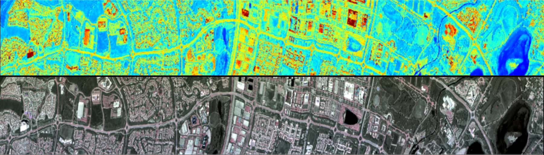
The modelling conducted in the project by the Indian research organisation TERI, using our EO-derived data on fire strength and timing, showed that the PM2.5 concentrations across IGP cities was directly influenced by the amount of crop residue being burned, even hundreds of km away. We found a major impact on the air quality of Delhi for example, with around 40% of the PM2.5 there being contributed to by rice residue burning in NW India in the most extreme cases. The impact of the crop residue burning fires that occur every winter in the Punjab and elsewhere in NW India was assessed for each of the cities identified in the image below.
![]()
King’s College London, Bush House (NE wing), 30 Aldwych, London, WC2B 4BG