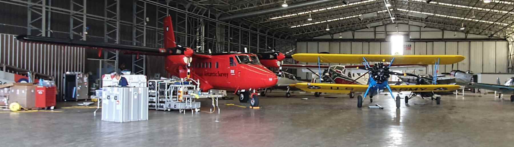
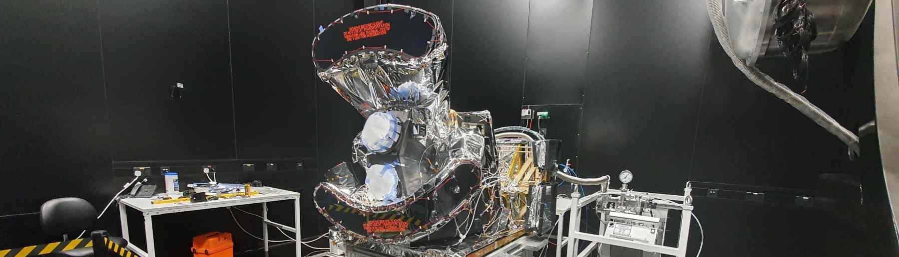

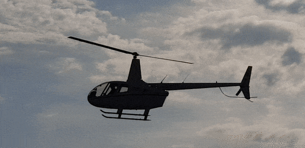
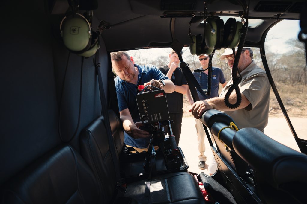
Our group use a mixture of airborne measurement methods, covering both UAVs and manned aircraft – both fixed wing and helicopter based. Mostly we are using these platforms to carry remote sensing instrumentation, but we also make some in situ atmospheric measurements – such as for collecting smoke samples to be analysed on the ground for their chemical composition. Examples of our work are shown below.
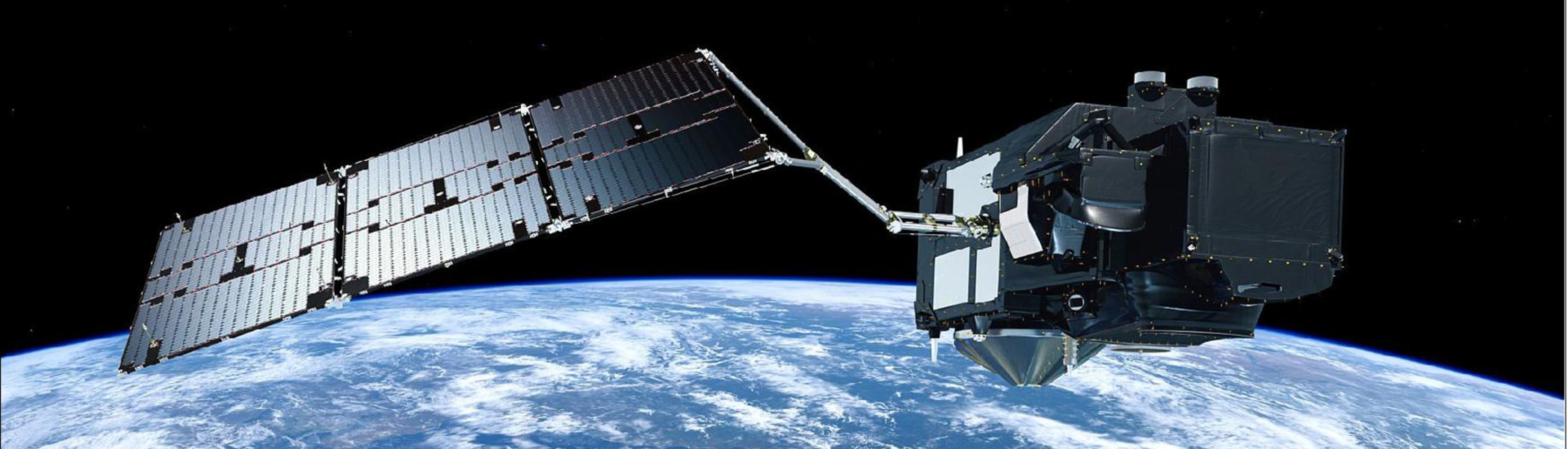
The joint NASA-ESA (funded) Temperature Sensing Experiment (NET-Sense) was planned and conducted in support of a proposed European future Sentinel satellite mission. The Land Surface Temperature Monitoring (LSTM) mission will address water, agriculture and food security issues by monitoring the variability of land surface temperature (LST) and evapotranspiration (ET) at the European field scale at high temporal resolution. NET-Sense collected airborne and ground-based data which is being used to simulate different LSTM designs and test candidate algorithms for producing the expected LST and ET data products.
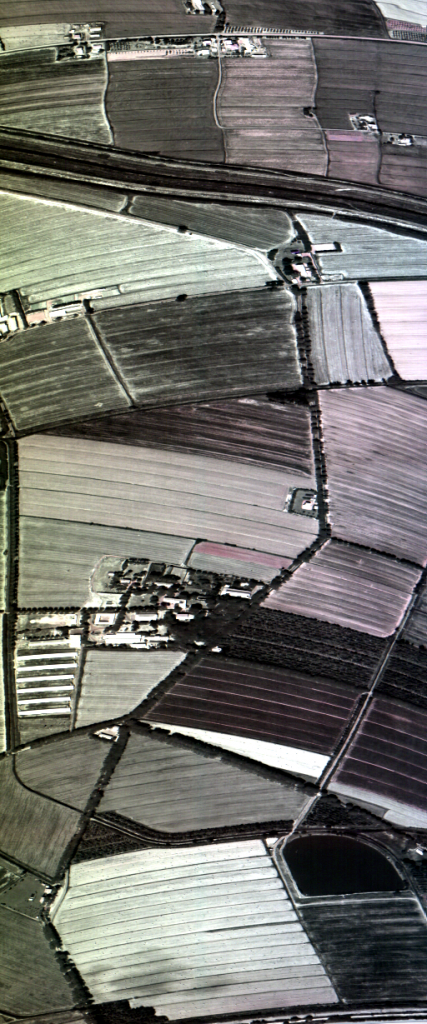
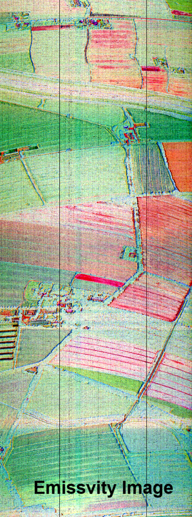
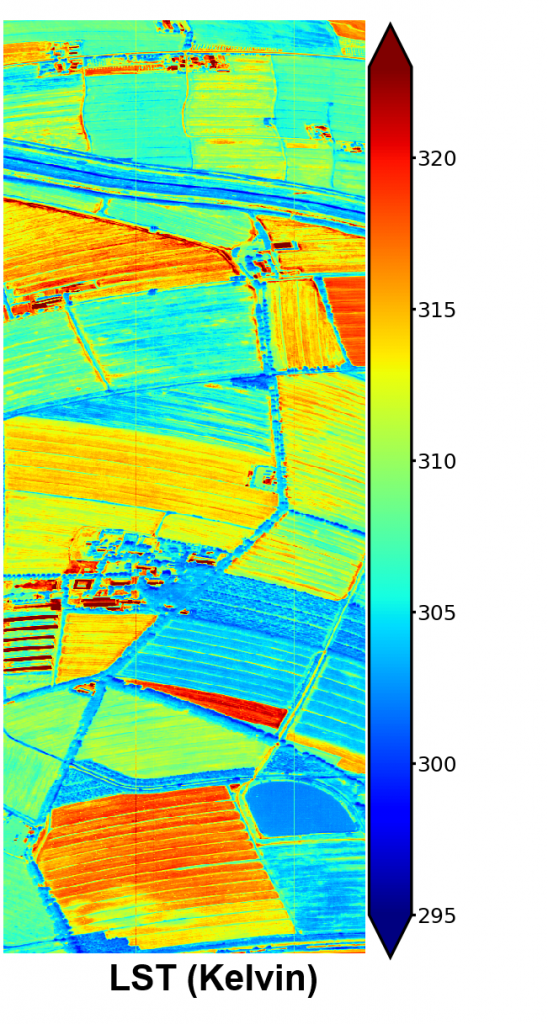
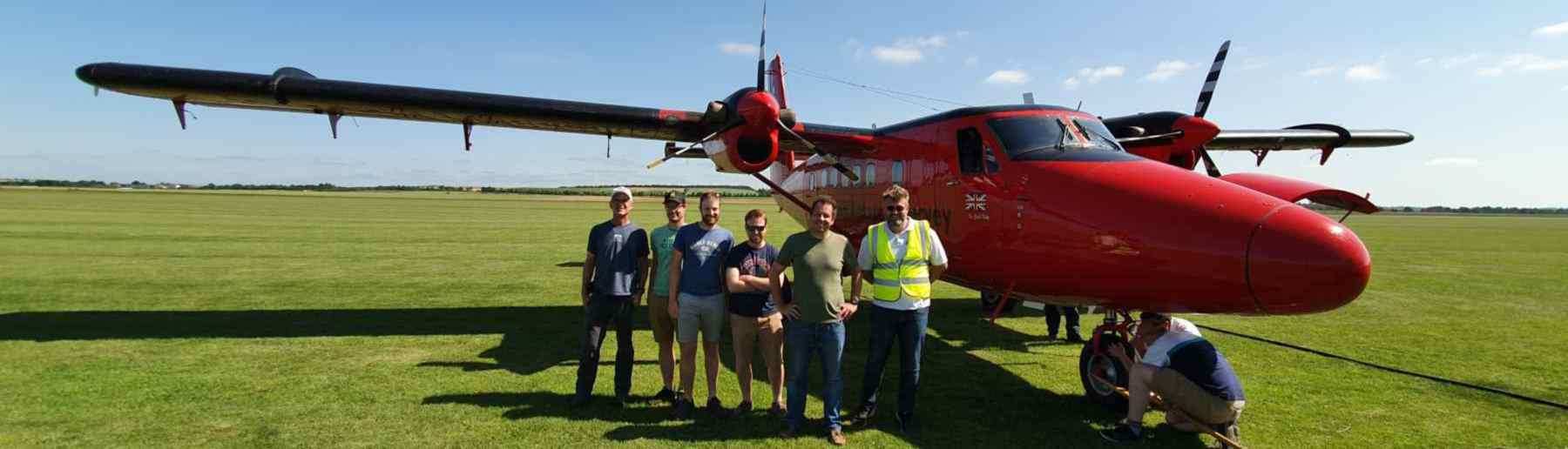
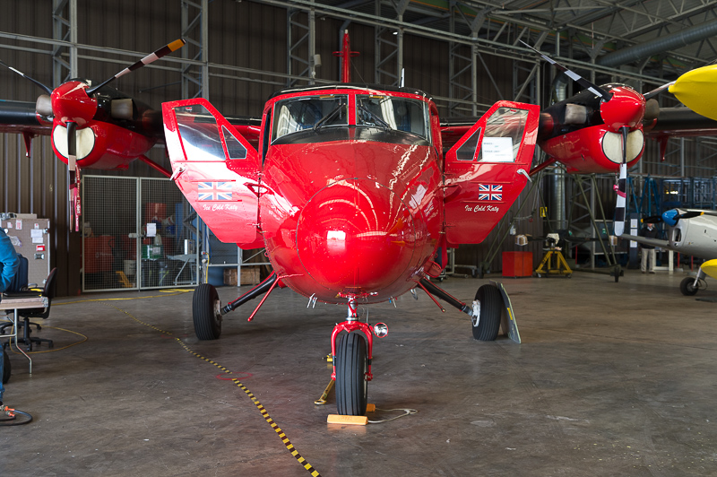
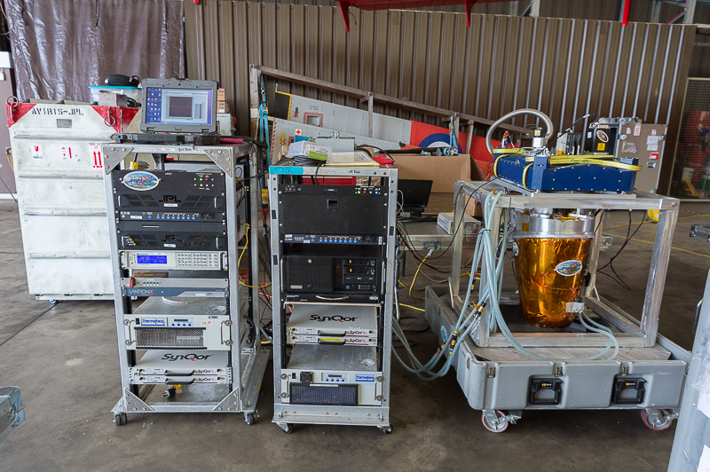
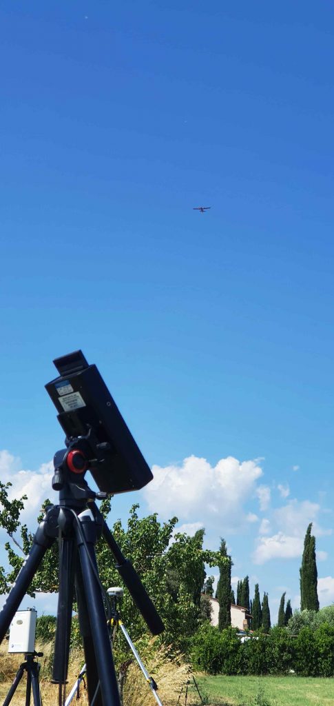
Core NET-Sense activities focused on airborne data collection over target sites in the UK and Italy using HyTES , a state-of-the-art thermal imaging hypespectral radiometer designed, manufactured and operated by NASA’s Jet Propulsion Laboratory. Our group collaborated with the JPL team on bringing HyTES to Europe, fitting it to a UK aircraft and operating it for the first time outside of North America alongside our own airborne instrumentation, including a Fenix hyperspectral imager which measures reflectance across VIS to SWIR wavelengths.
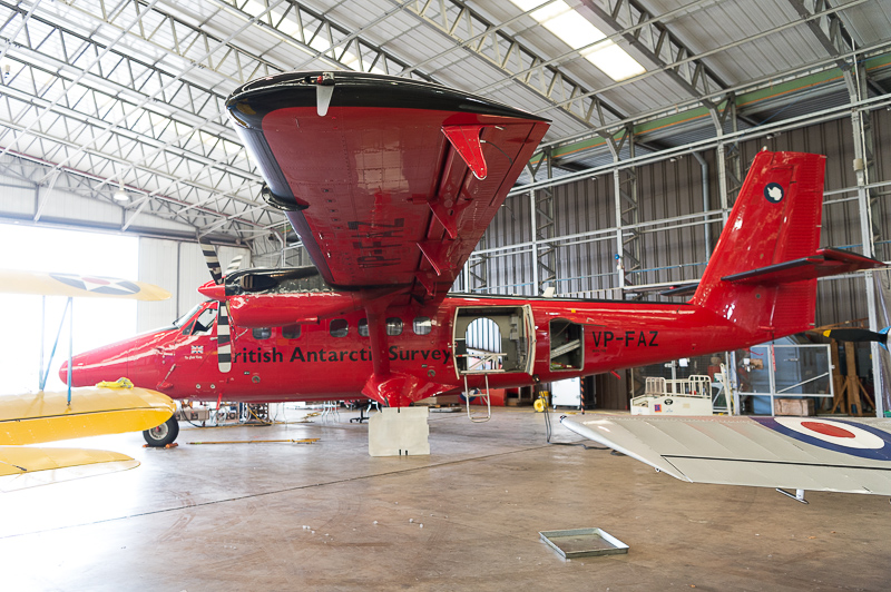
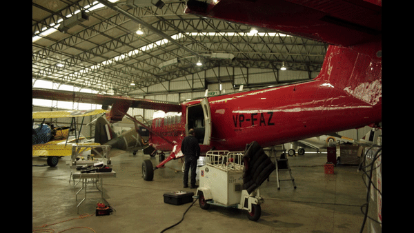
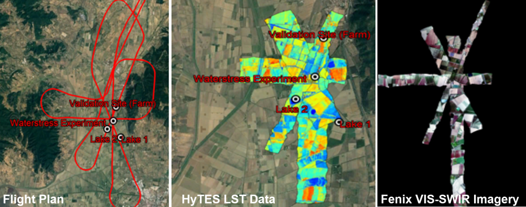
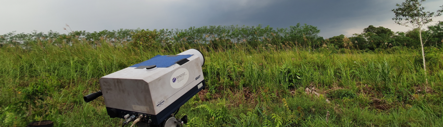
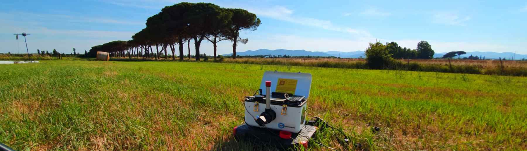
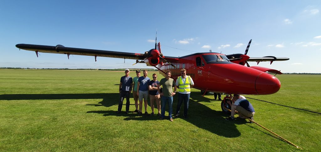
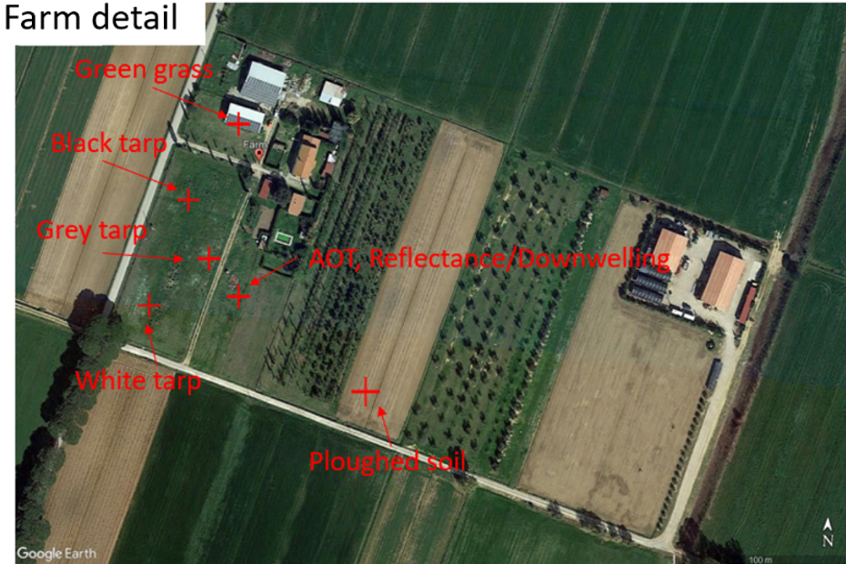
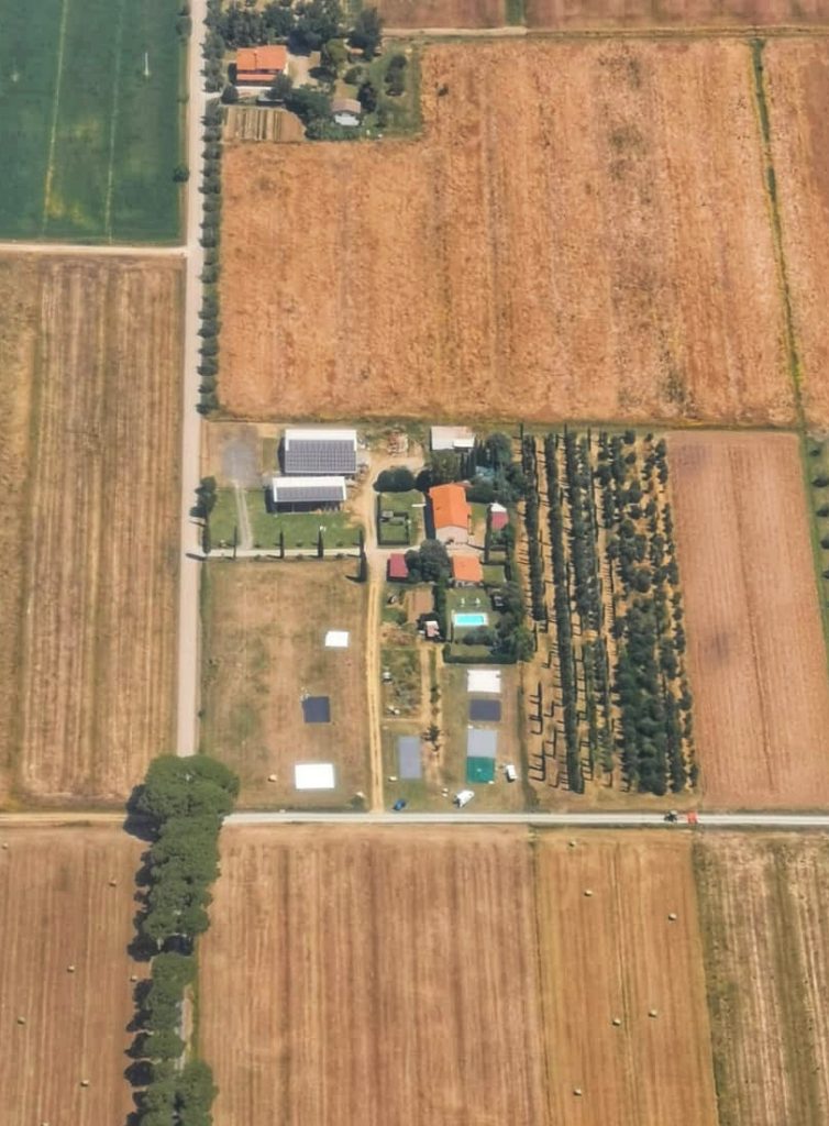
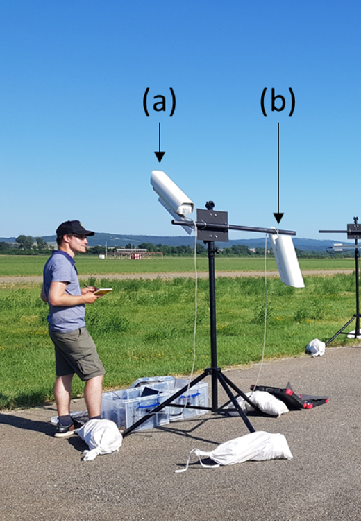
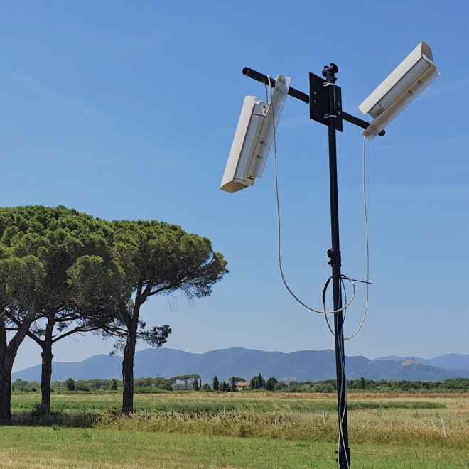
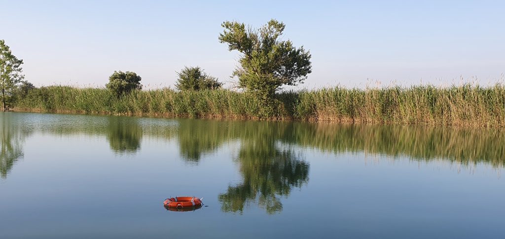
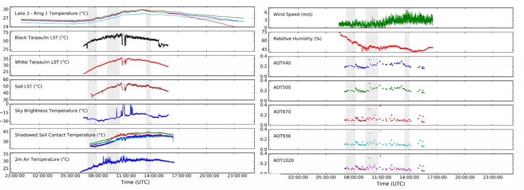
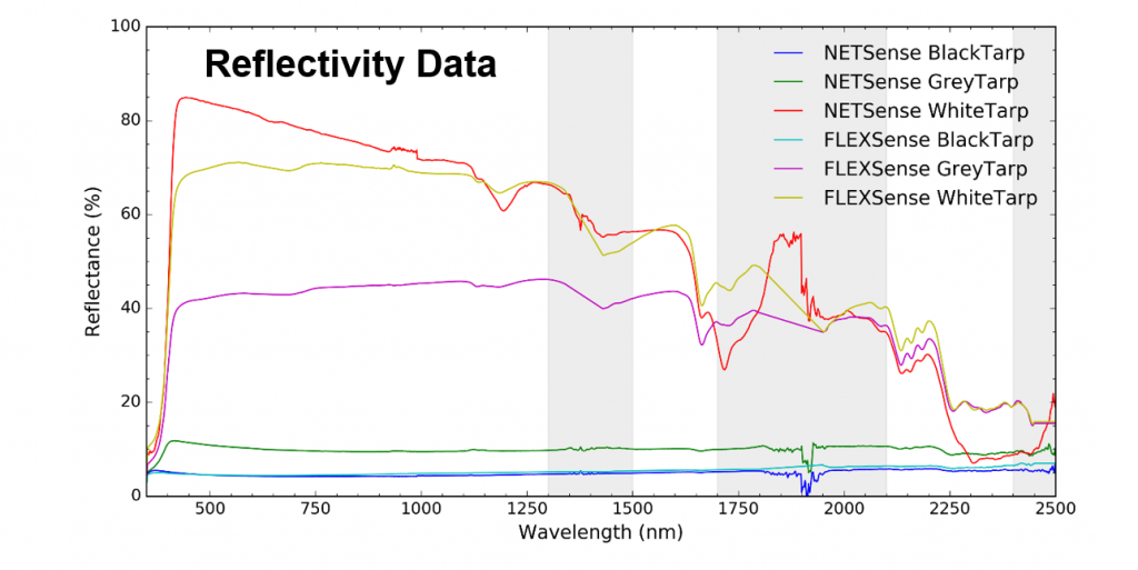
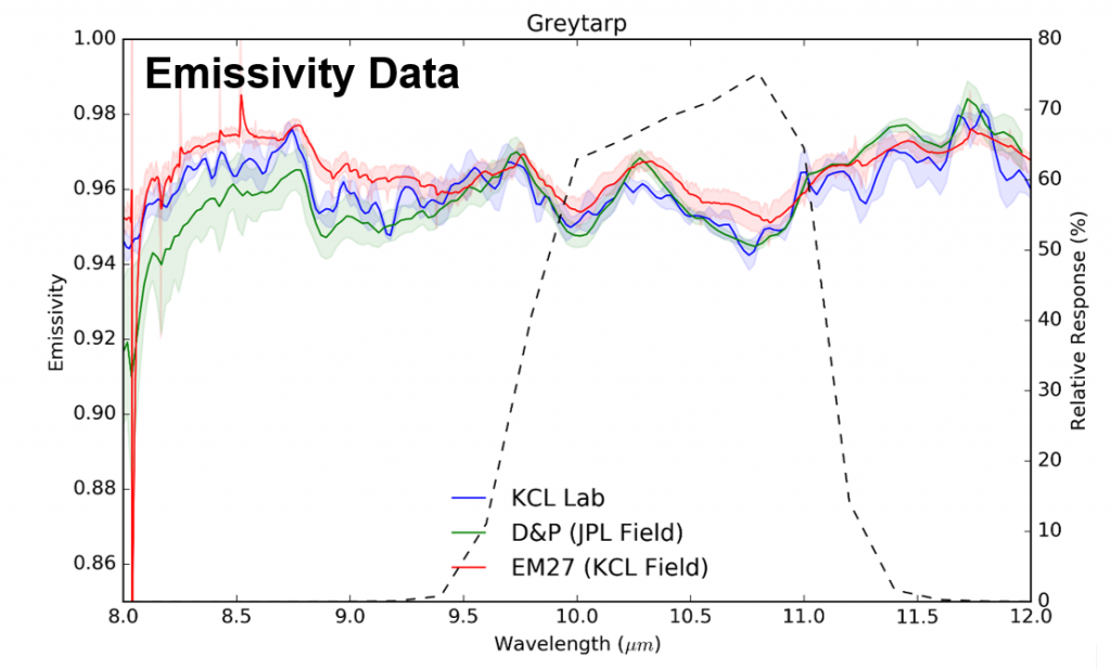
For the Italian part of the campaign, the BAS Twin Otter aircraft was based at Sienna airport (Tuscany). The main location targeted by the overflights was farmland close to Grosseto where in situ (ground sensors) deployed included floating buoys located in water bodies to measure water surface temperature and LWIR radiometers and other devices deployed at a farmland site to estimate land surface temperature (LST) – including on calibation tarpaulins providing targets of know spectral reflectance and emissivity. Further instruments included a sun photometer to measure aerosol optical thickness (AOT), and an FTIR to measure the spectral distribution of downwelling IR light. Measurements to calculate the surface spectral emissivity of some of the ground materials were also obtained. Similar data were obtained at Sienna Airport.
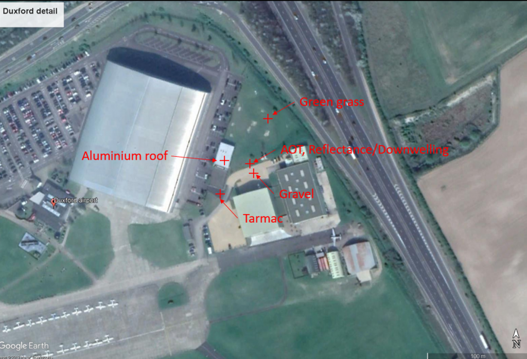
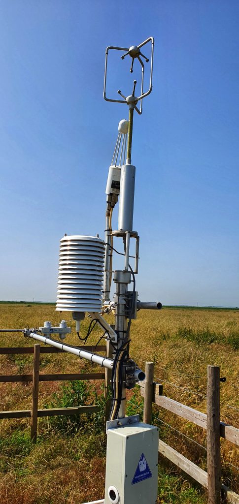
In the UK the aircraft was based at Duxford Aerodrome (Cambridgeshire) and ground measurements were conducted at the aerodrome itself, along with Milton Keynes and series of eddy covariance flux towers located around east and southeast England operated by NERC Center for Ecology and Hydrology. Grafham water provided a large water body target for measuring water surface temperature.
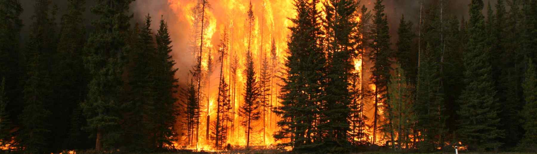
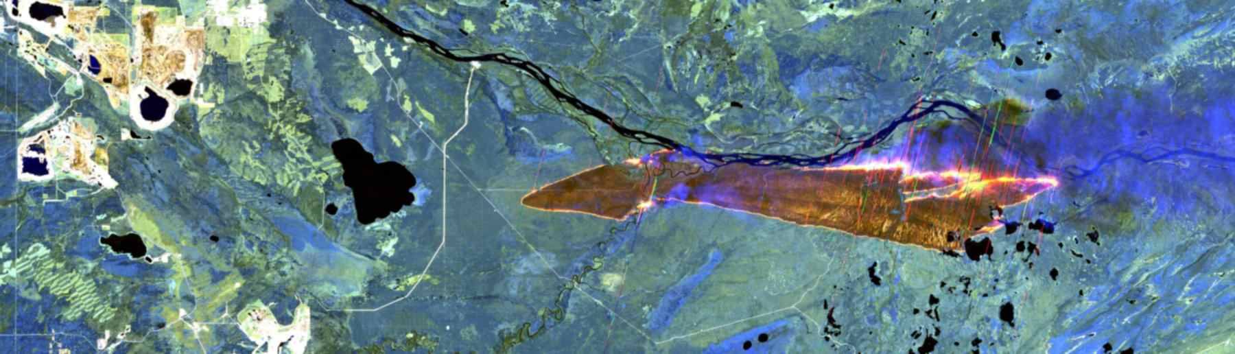
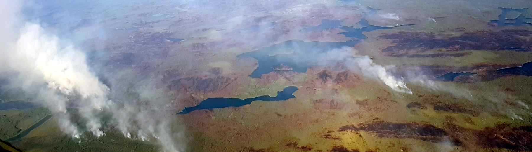
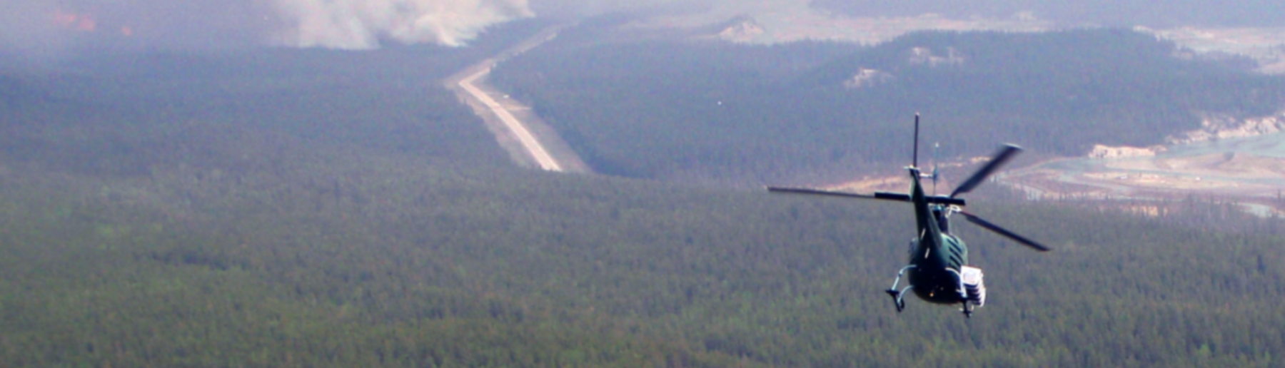
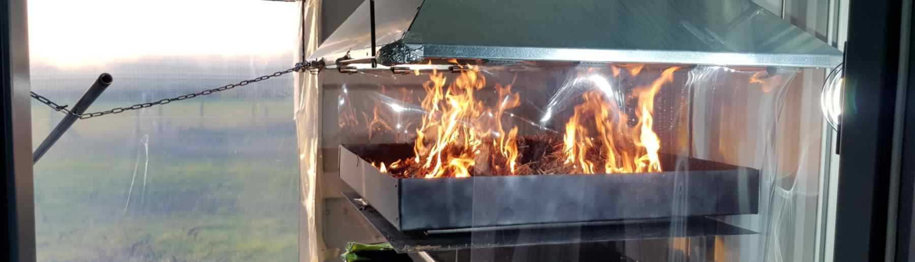
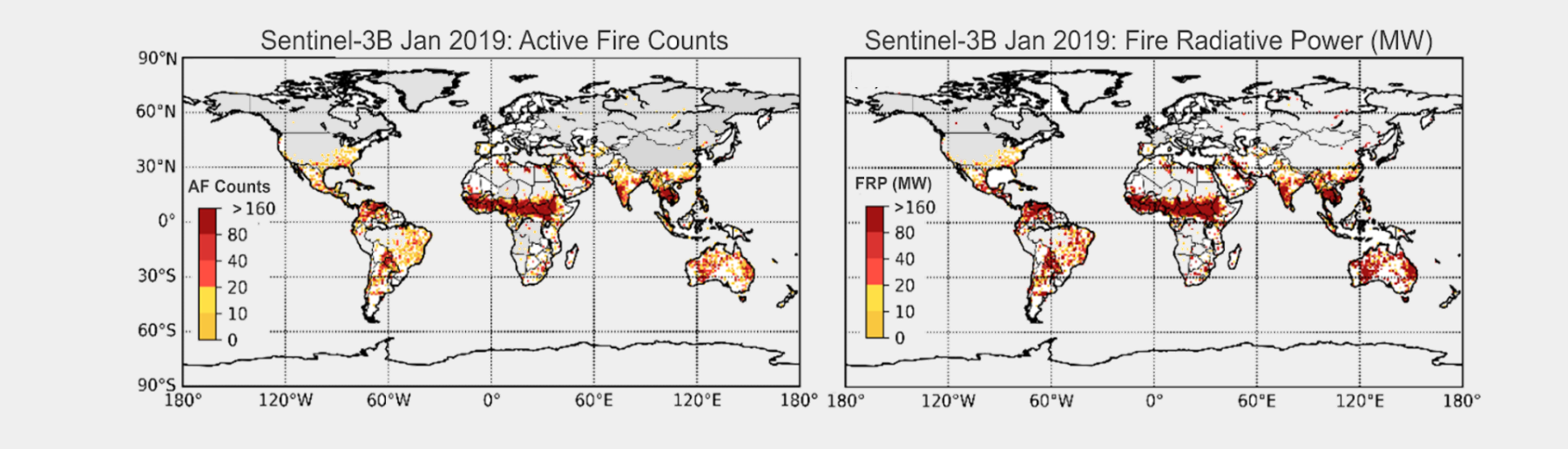
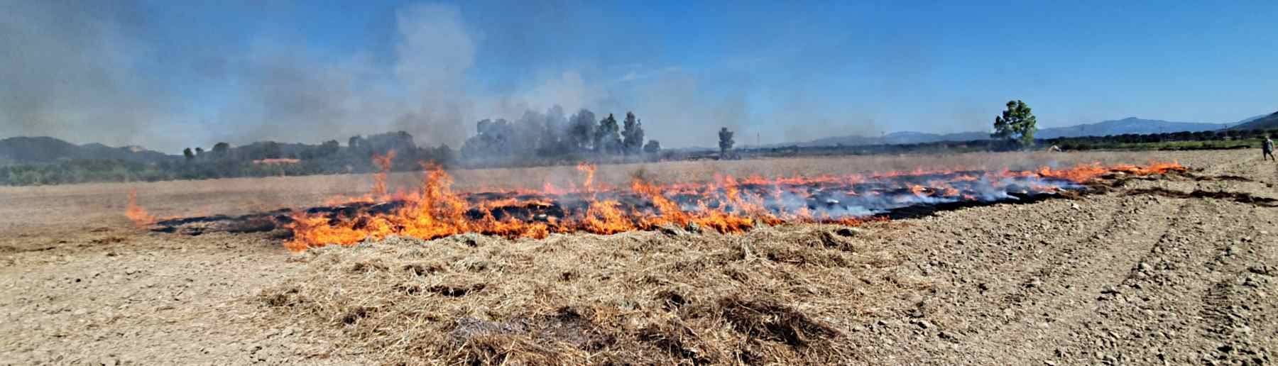
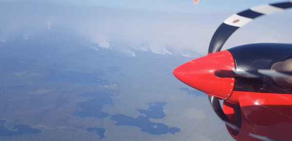
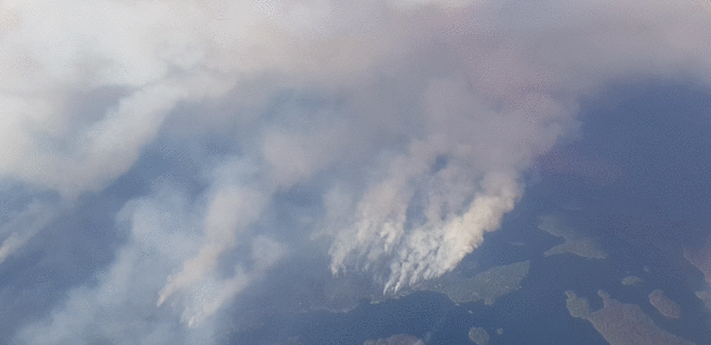
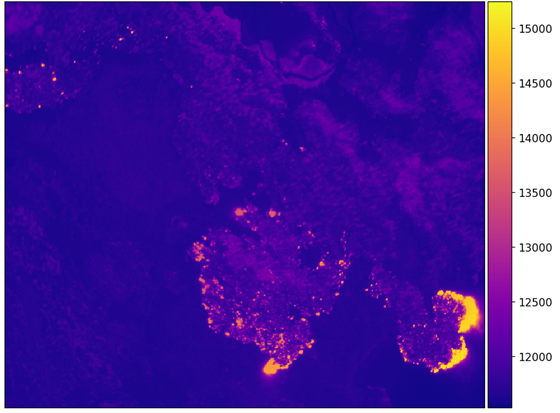
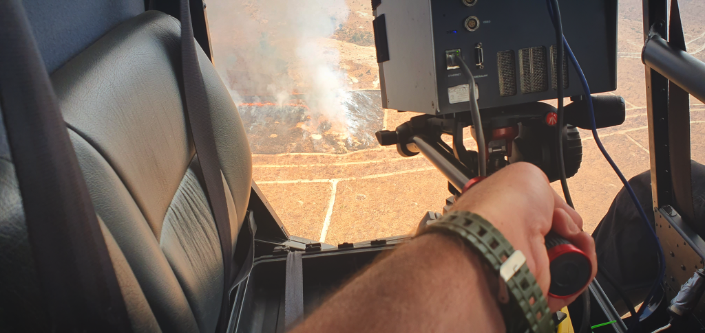
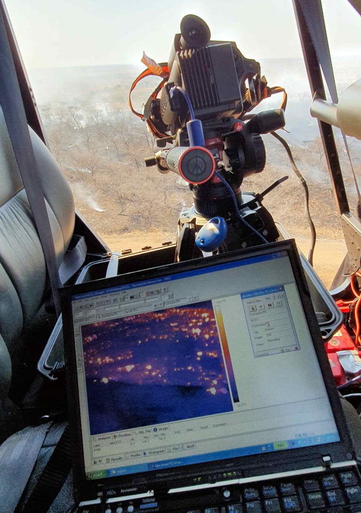
The ESA (funded) Fire Detection Experiment (FIDEX) campaign was planned and conducted in support of the Sentinel-3 fire product development and validation. The main activity was to collect airborne data of actively burning fires at the same time as the Sentinel-3 satellite passed overhead, so the results from the satellite based active fire product could be compared to the much more spatially detailed airborne data. To do this aircraft were fitted with a series of thermal imaging devices, the main one being a middle infared camera equipped with a spectral filter that matched that of the SLSTR sensors middle infrared band.
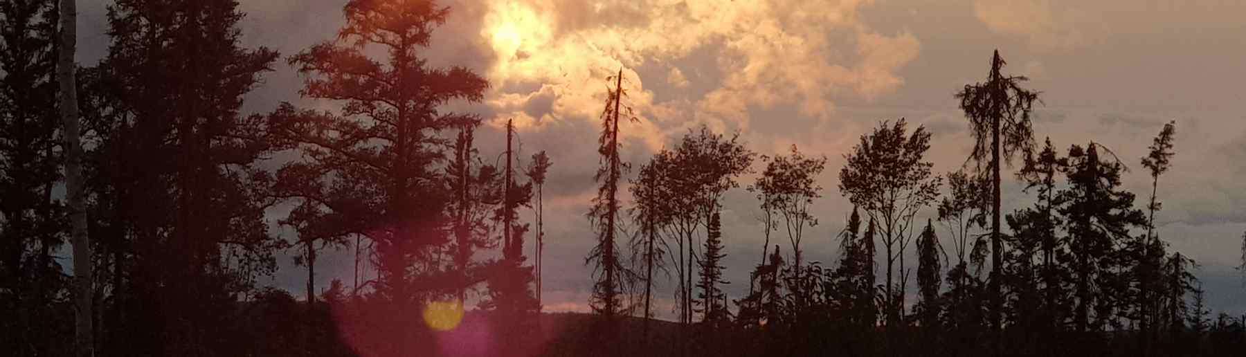
The first part of FIDEX involved underflying the Sentinel-3 satellite overpasses of fires in northern Canada, using a UK research aircraft that we fitted out with multiple different thermal imaging devices.
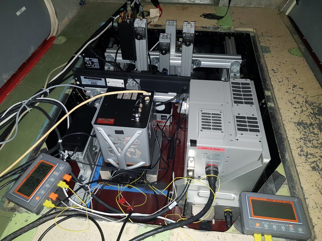
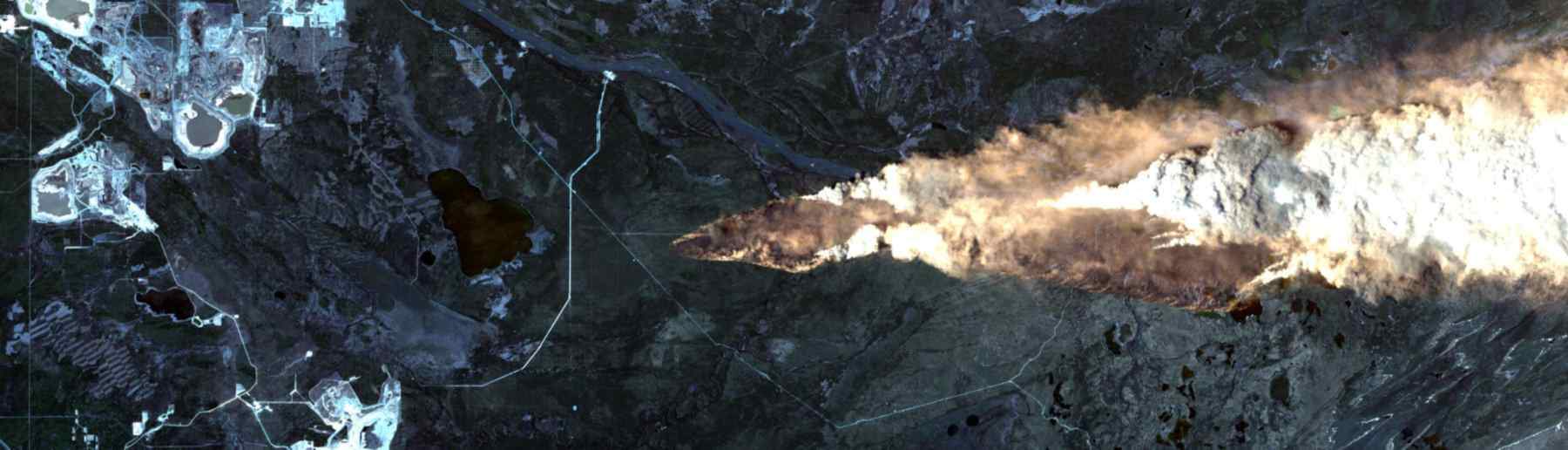
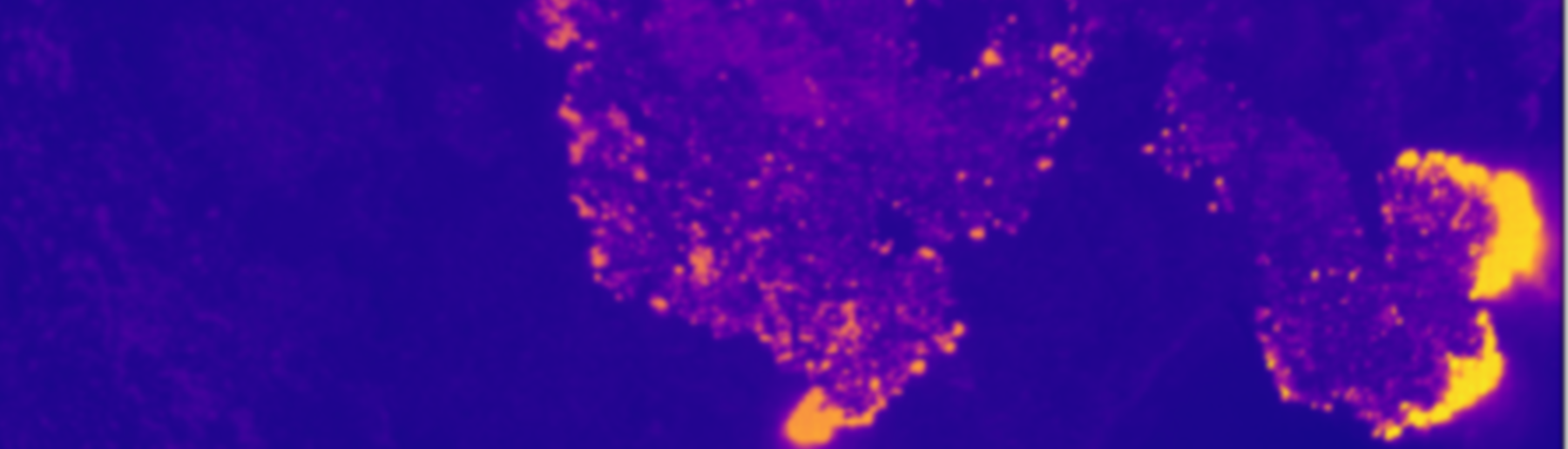
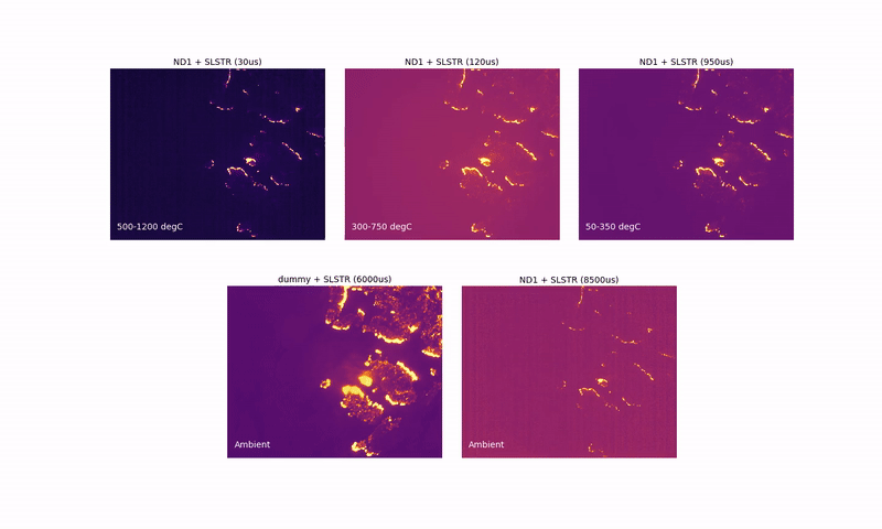
The MIR waveband camera was configured to take images at different integration times, ranging from 30 µsecs (covering high temperature features) to 8500 µsecs (covering low temperature features). The images were combined in post-processing to give a very wide dynamic range thermal image from which fire radiative power (FRP) maps could be derived for comparison to the satellite-derived equivalents.
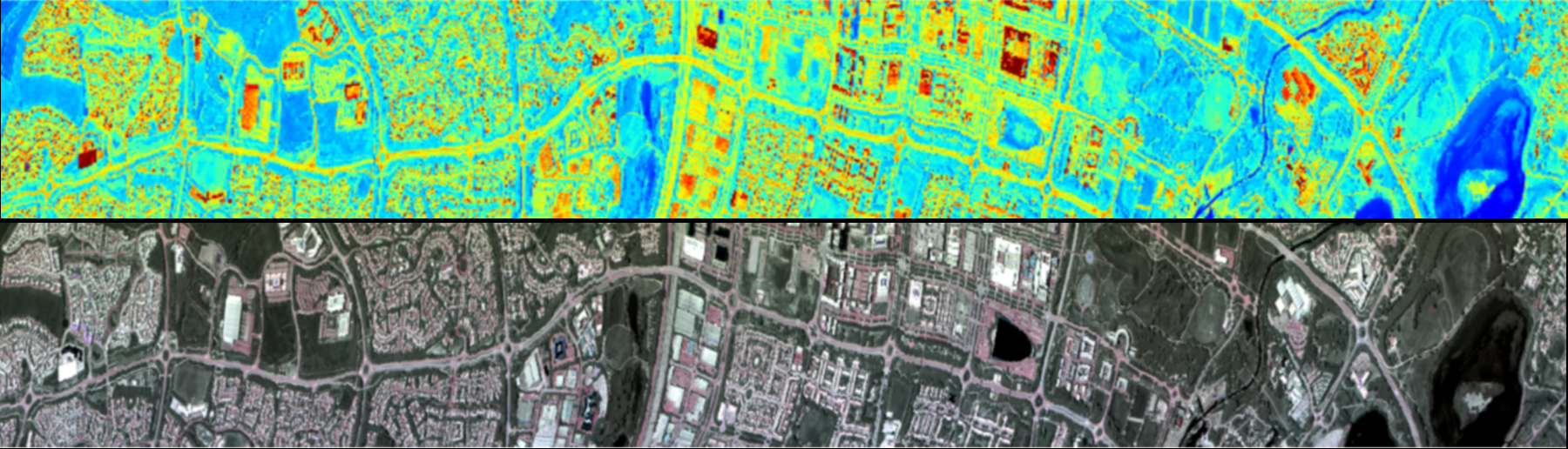
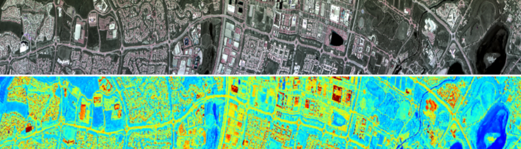
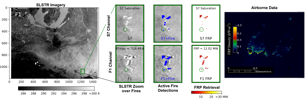
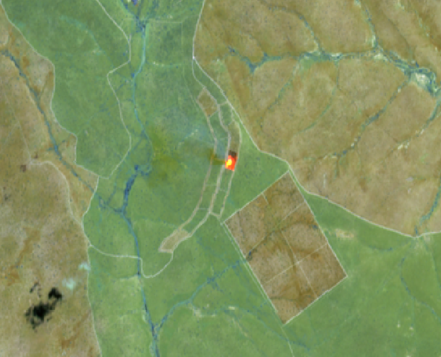
The Sentinel-3 SLSTR satellite imagery (left below) was converted to active fire detections and FRP retrievals (centre below) and these data were then compared to the simultaneous airborne measures of FRP (right below) calculated from the MIR airborne imagery to gauge the degree of agreement and ultimately quality of the satellite-based information.
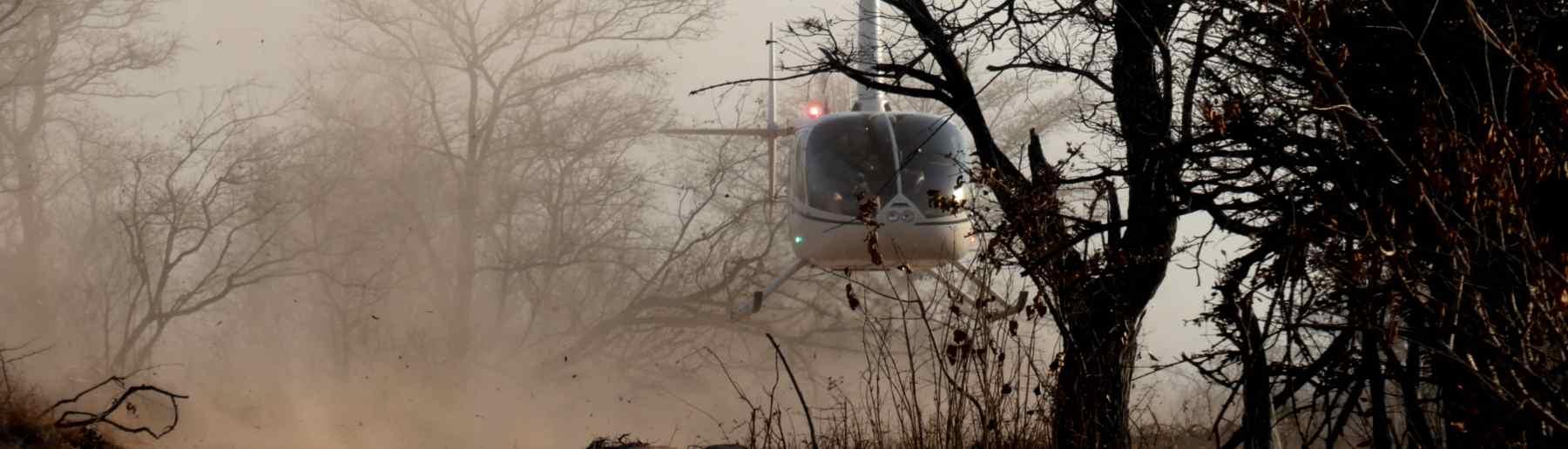
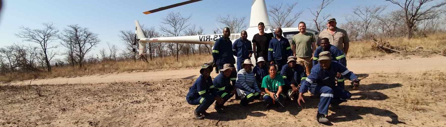
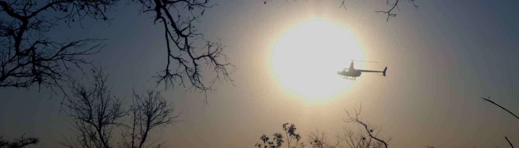
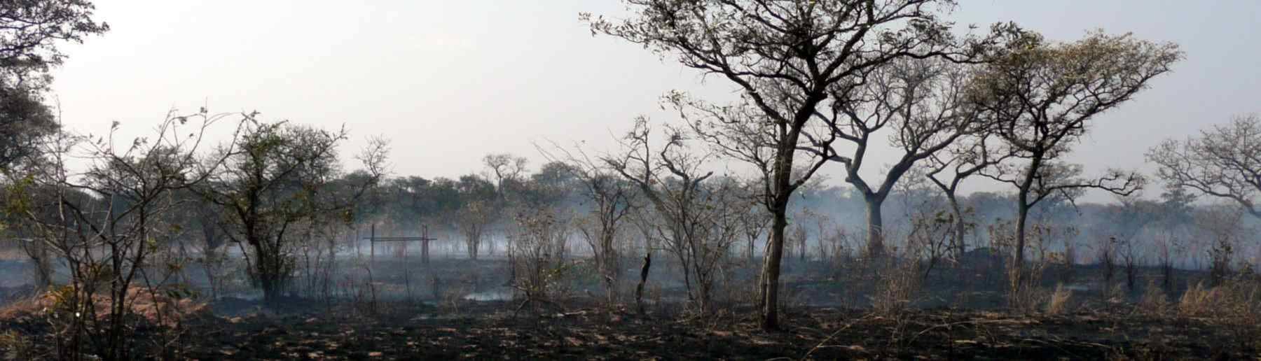
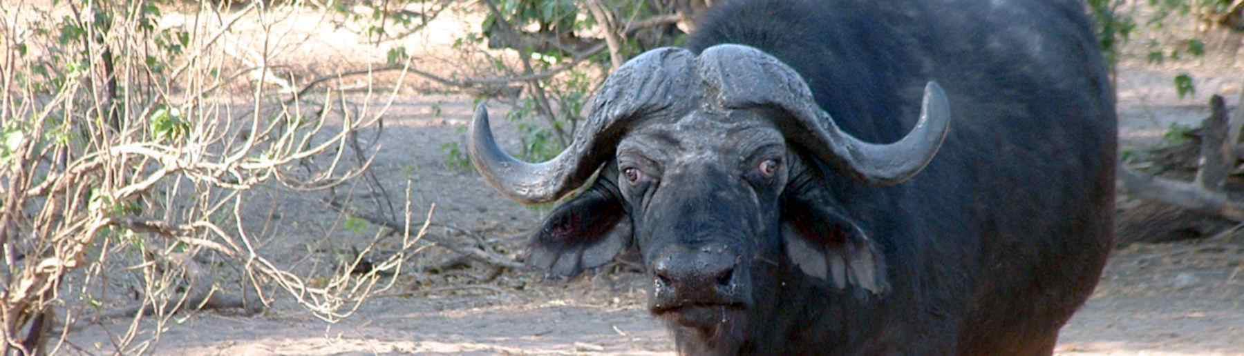
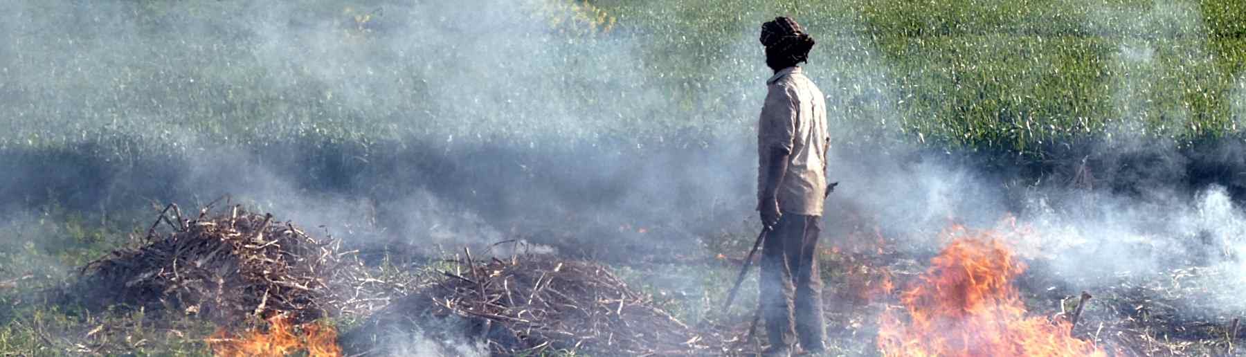
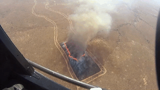
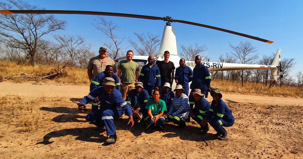
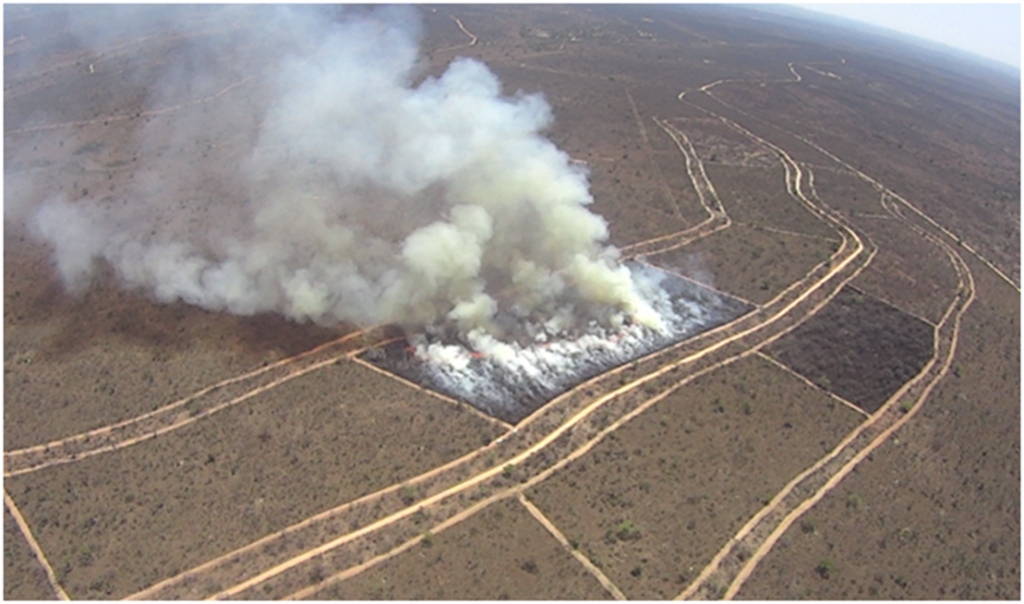
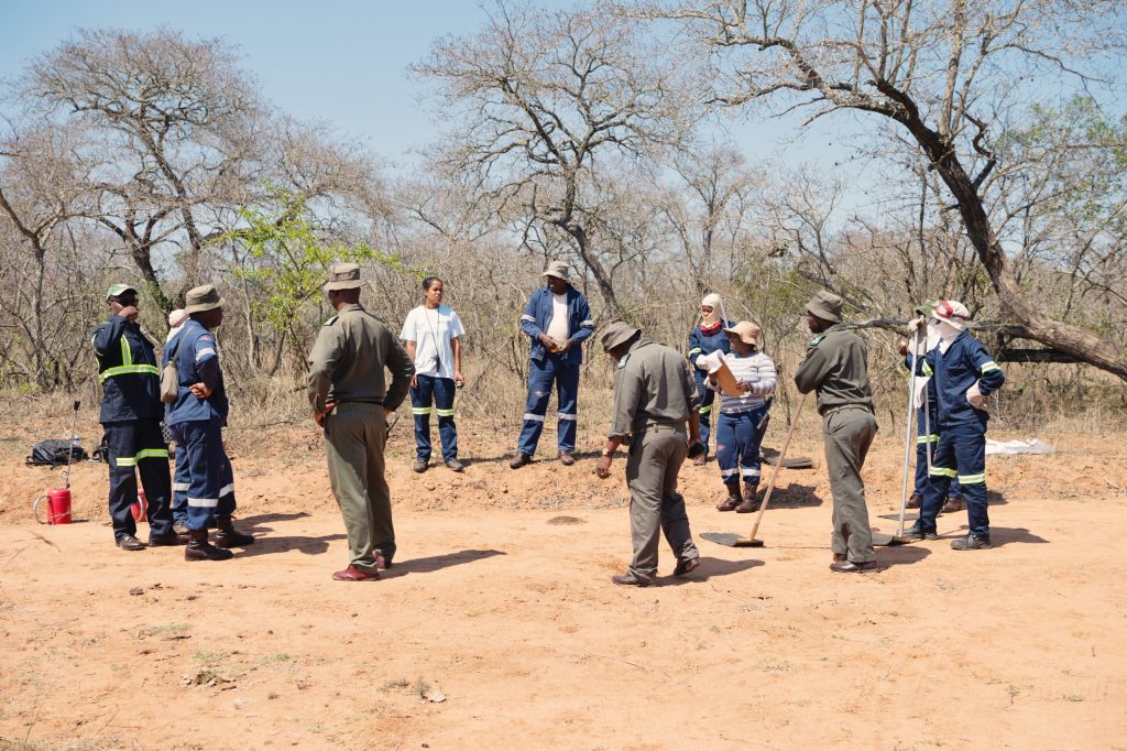
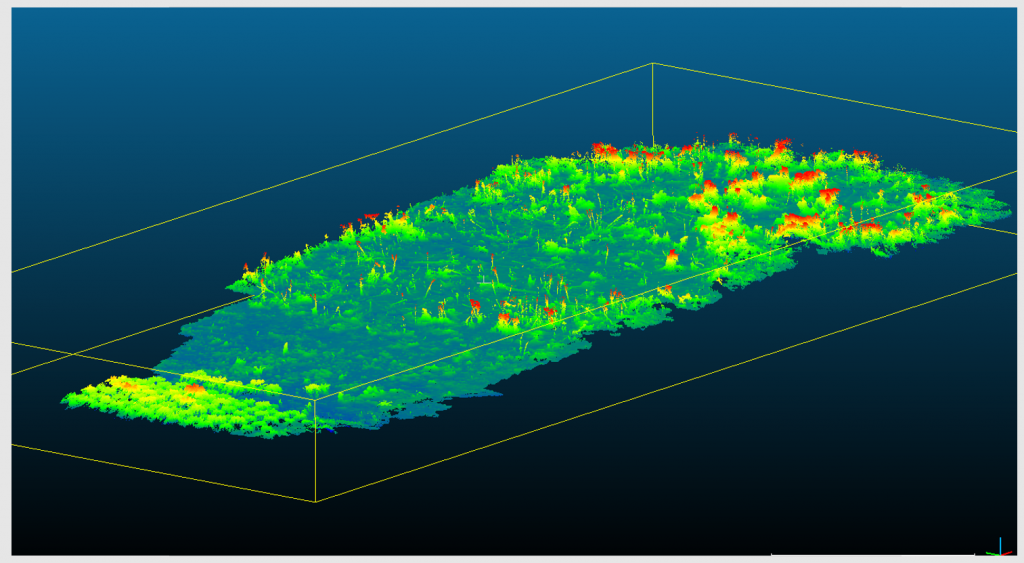
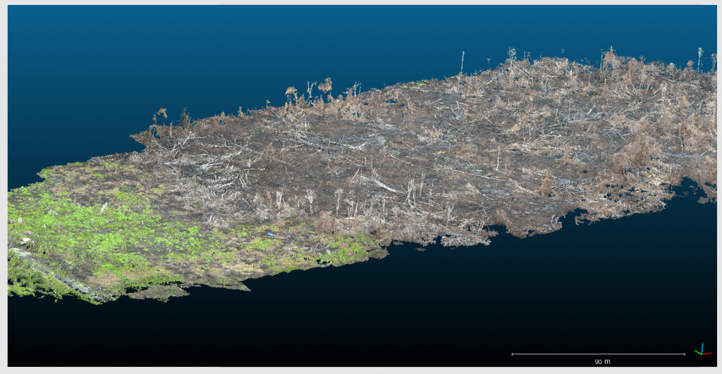
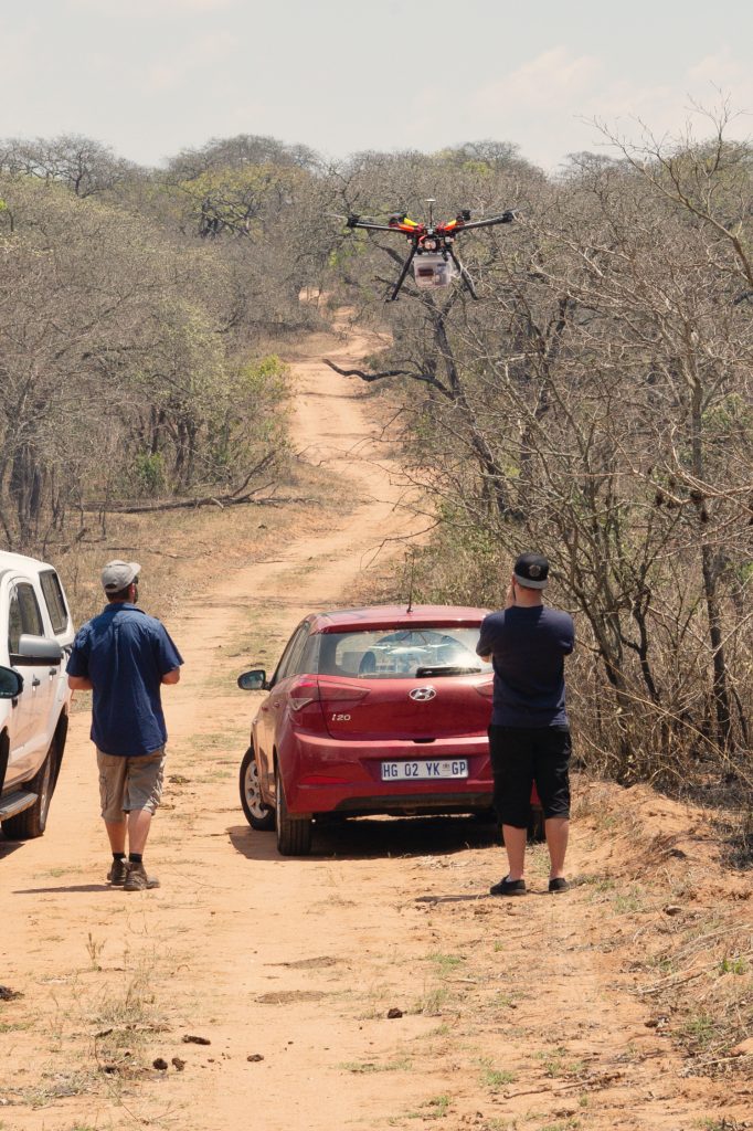
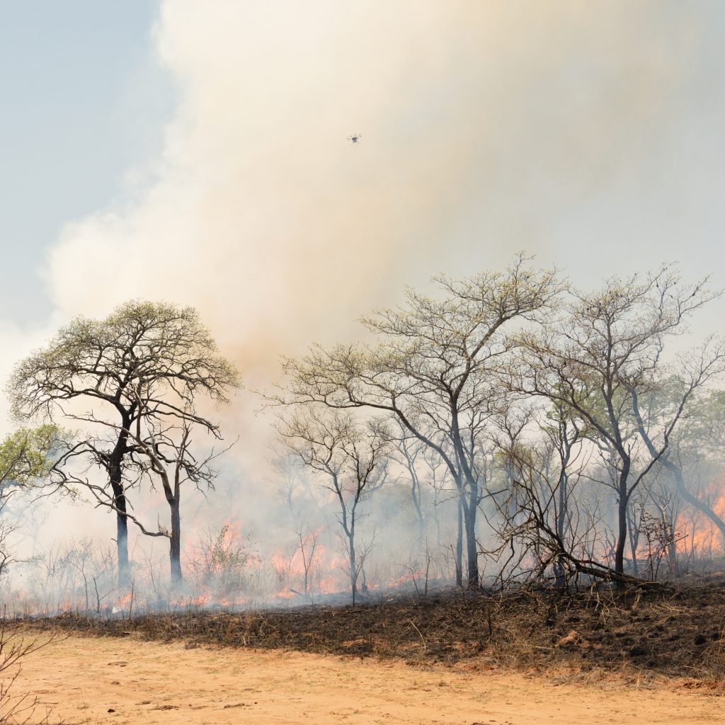
Other related airborne data collections have been conducted in Kruger National Park, using both helicopters and rotary wing UAVs. We work closely with the South African National Parks (SANParks) Fire team to conduct and measure these fires, targeting the experimental burn plots (EPBs) that have been present in Kruger for around 50 years, one of the longest fire experiments on Earth.
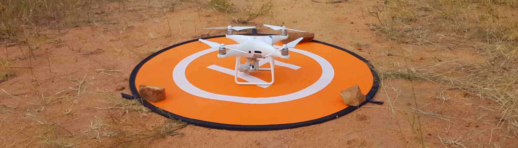
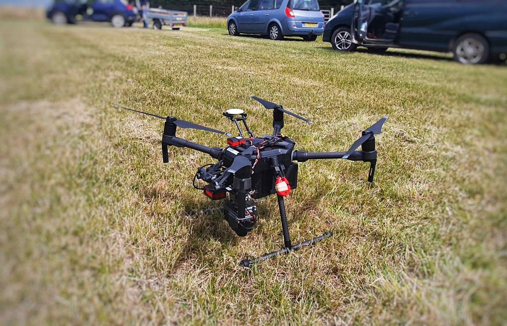
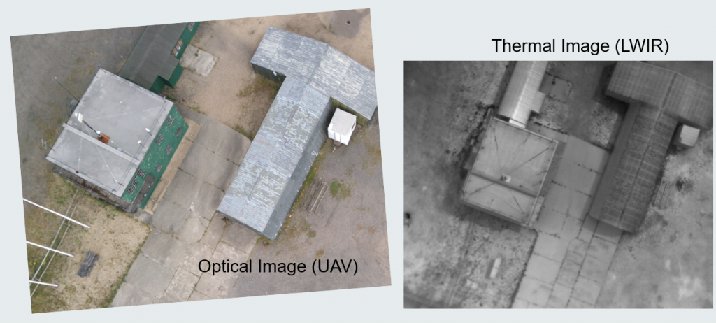
We also use UAVs for our airborne science, most commonly in agricultural research where we work closely with our partners Rothamsted Research, the worlds oldest agricultural research station. Rothamstead run many different agricultural trials, including of new crop strains where field phenotyping is an important component of the methodology used. This essentially involves the planting of the new crop strains in the field and the measurement of important parameters such as final crop height, growth rate, %cover and yield to ascertain which strains show the most beneficial traits, including under different fertiliser treatments.
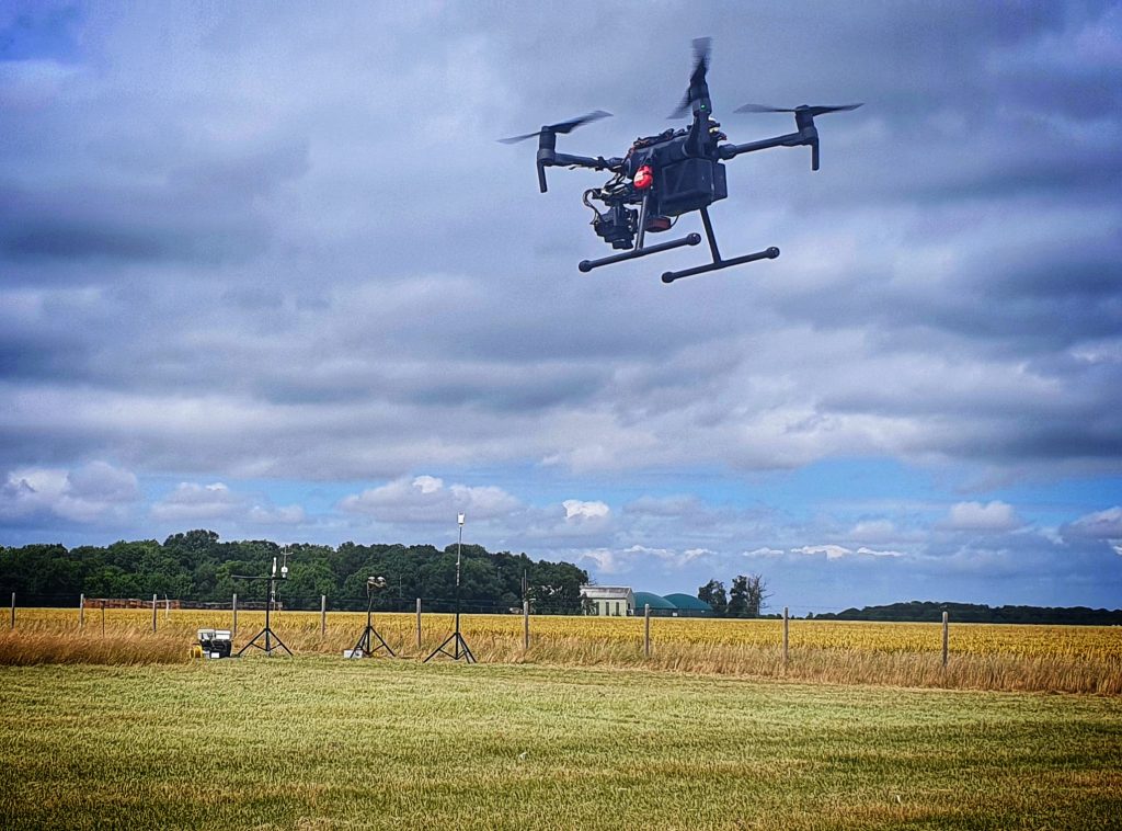
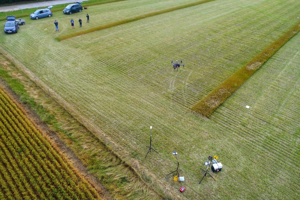
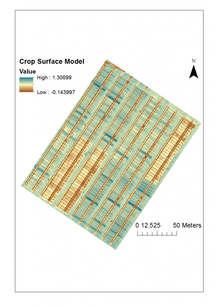
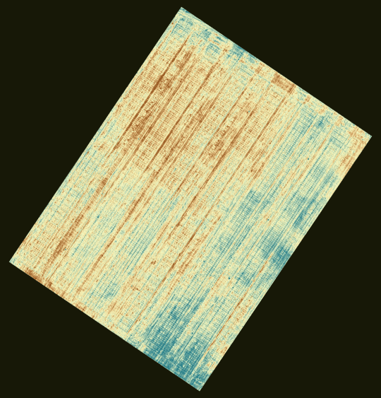
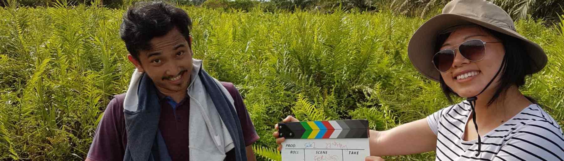
Further information about this research cooperation between our group and Rothamsted Research can be found in this video below. We have also extended this work into thermal imaging, where we are starting to image the crops in the long-wave infrared as well as VIS to NIR, with the ultimate aim of mapping canopy temperature and deriving from this and other information data on evapotranspiration (ET) that is useful for assessing the different water efficiency levels of the various crop strains under study.
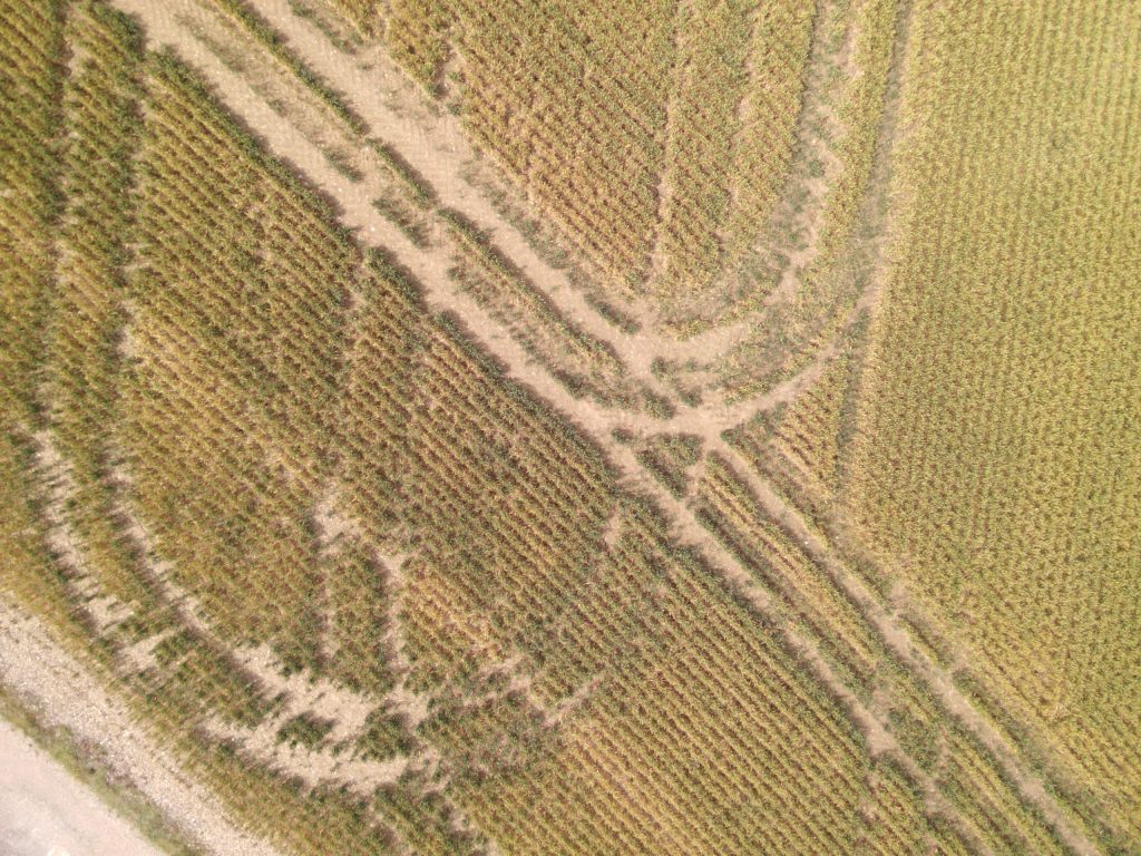
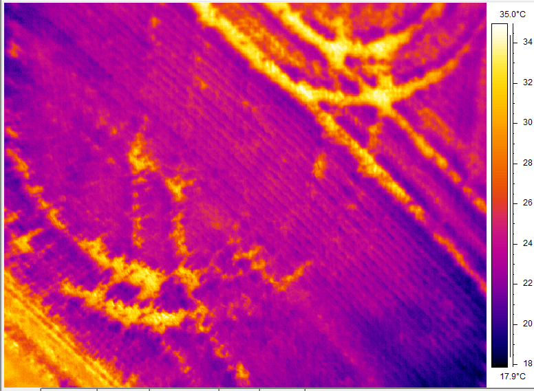
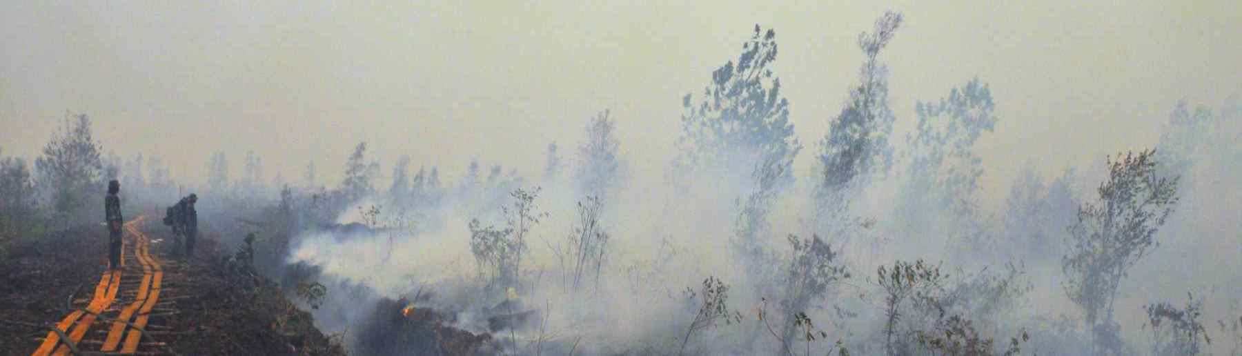
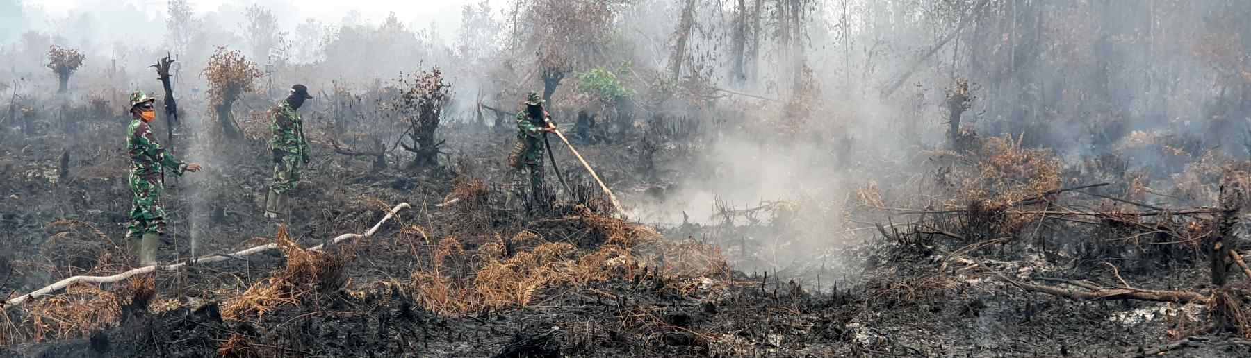
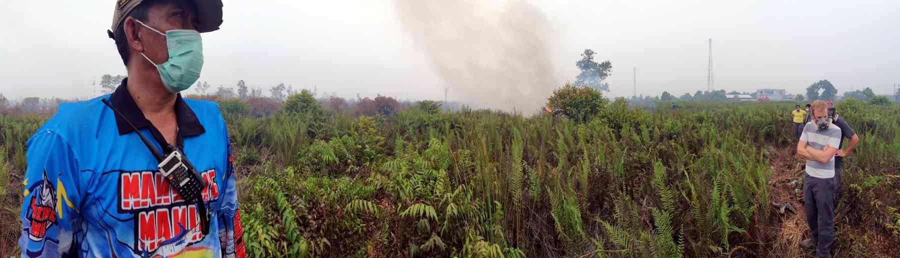
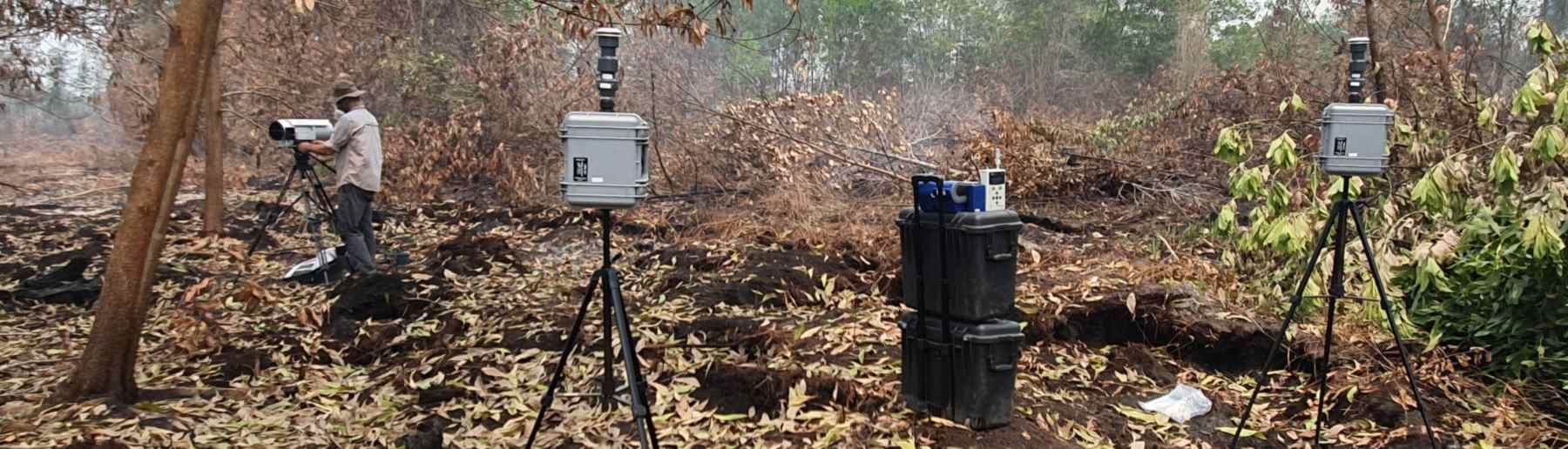
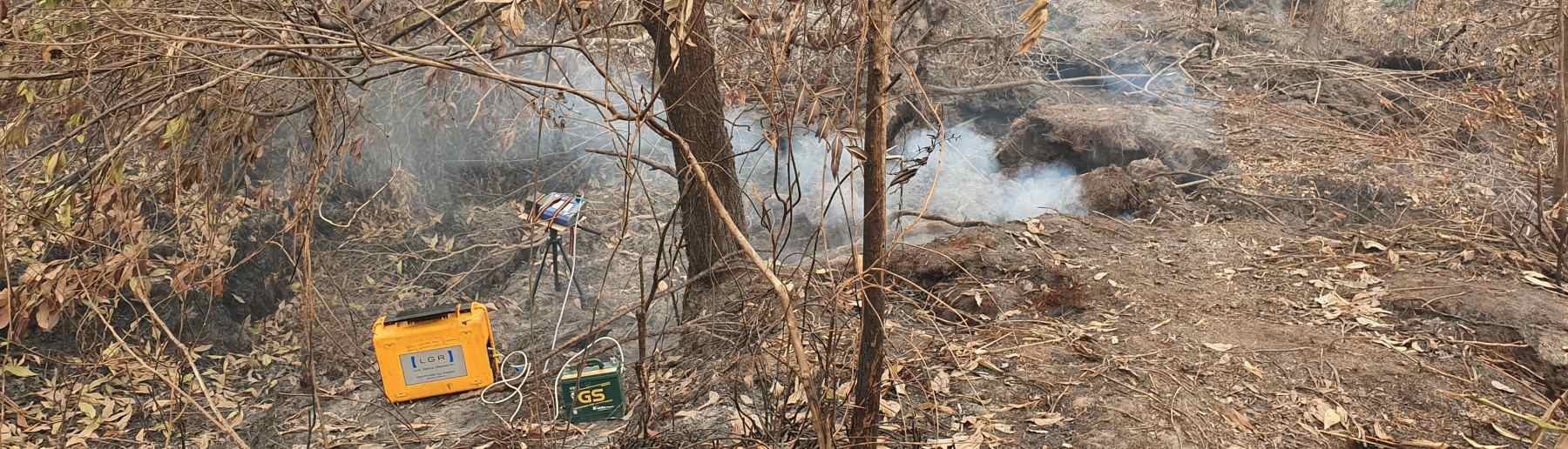
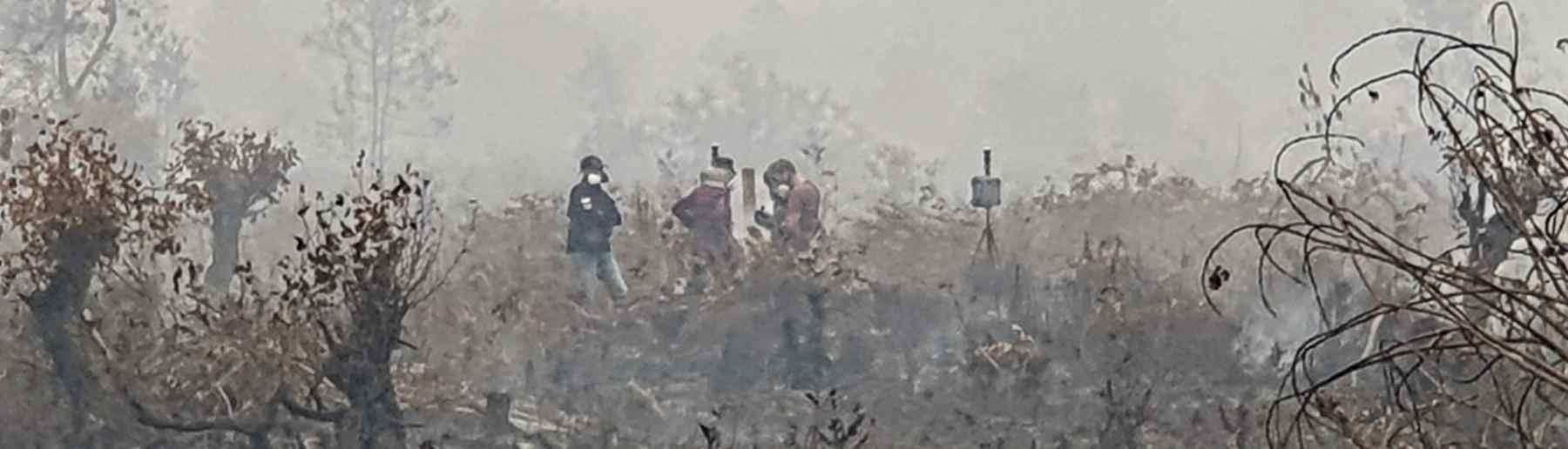
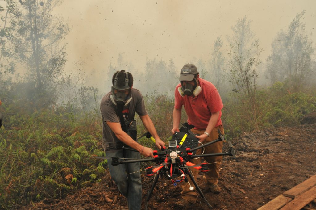
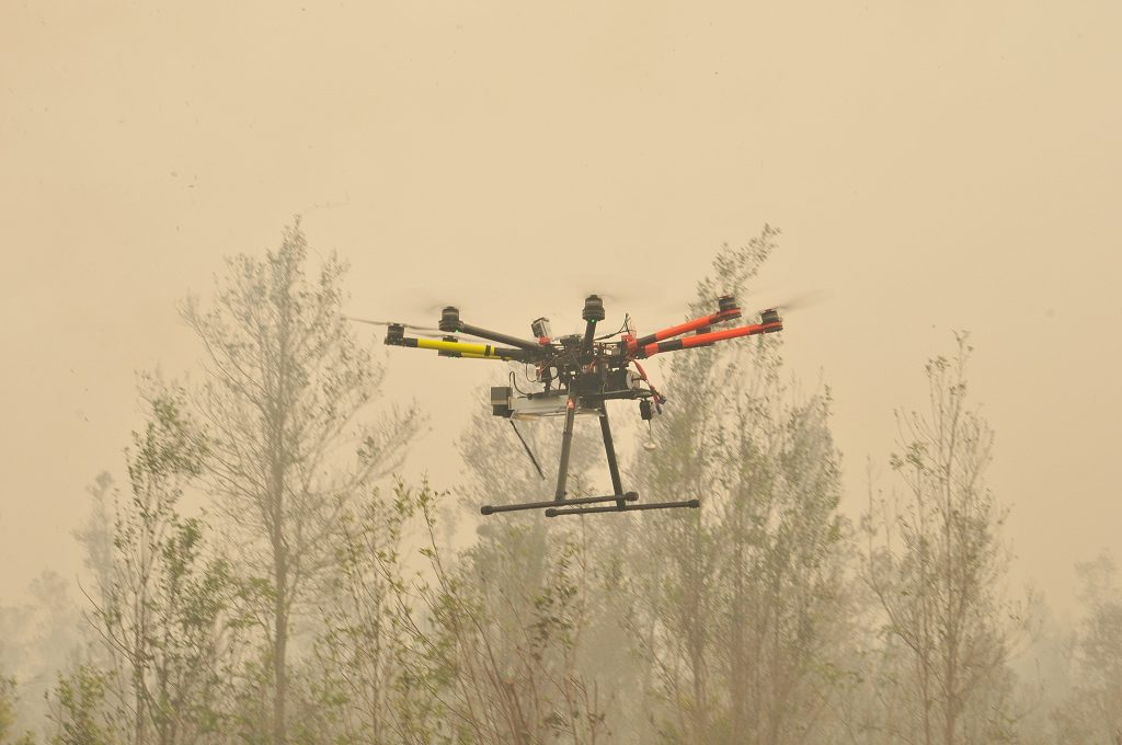
Another use for UAVs is in our landscape fire science programme. Here we have used UAVs to collect smoke samples from within fire plumes, have imaged fires from above to understand the different regions of flaming and smouldering activity within them and how this changes over the fires development, and in Indonesia we have used airborne UAV-based imaging to map burned peatlands and assess how deep the fires burned into the carbon-rich peatland soils.
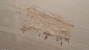
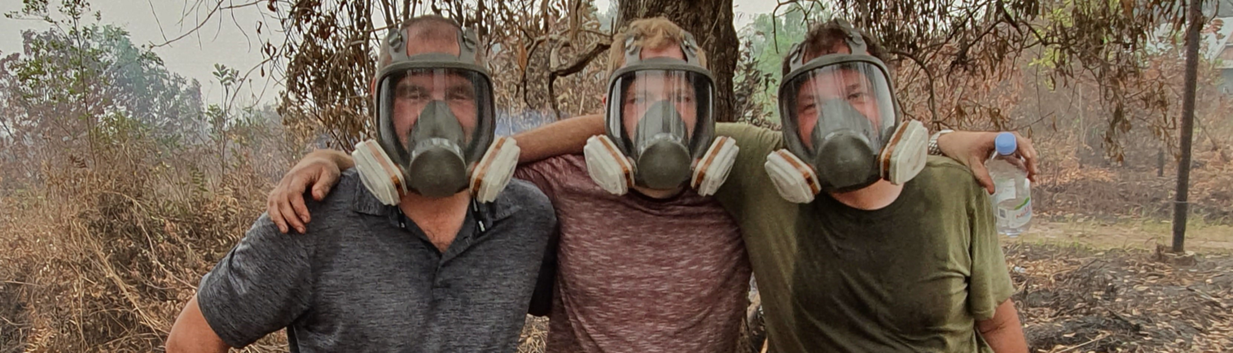
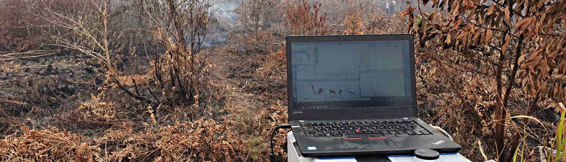
We also use UAVs to sample smoke in various fire affected biomes, including Indonesian peatlands and southern African savannah.
![]()
King’s College London, Bush House (NE wing), 30 Aldwych, London, WC2B 4BG