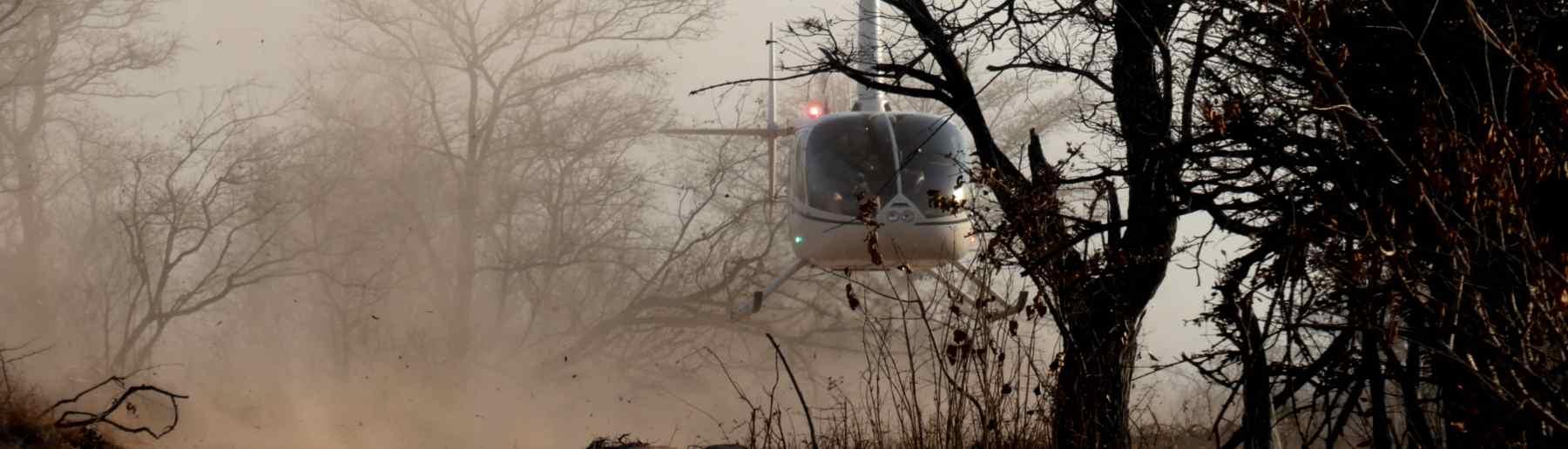
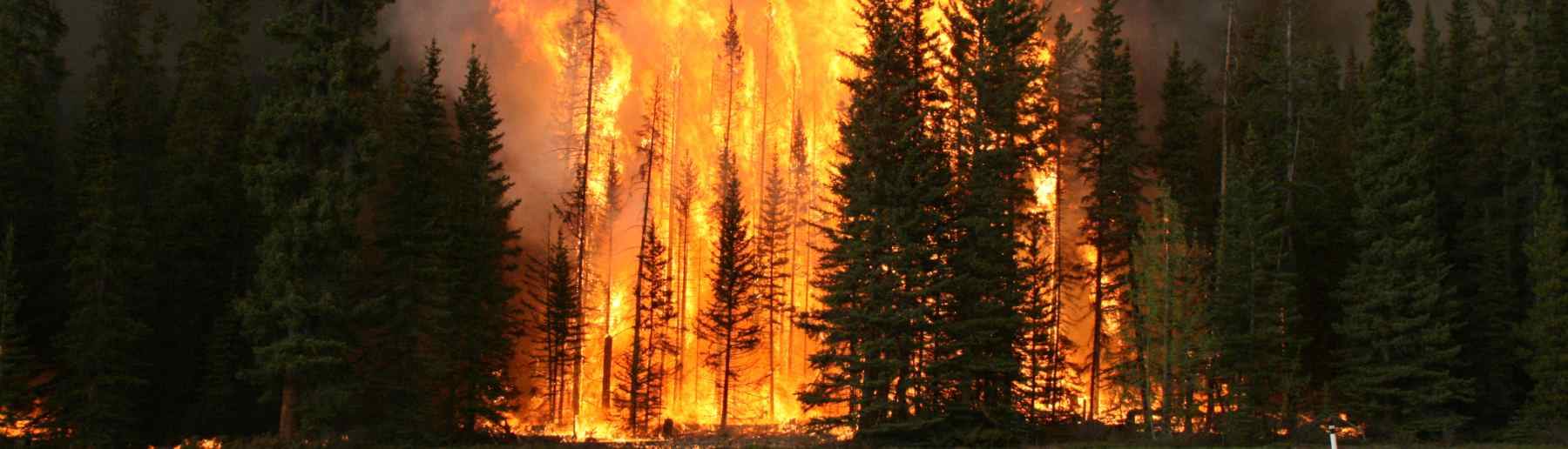
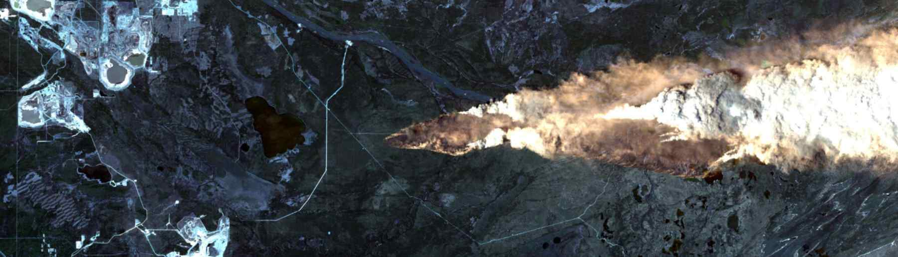
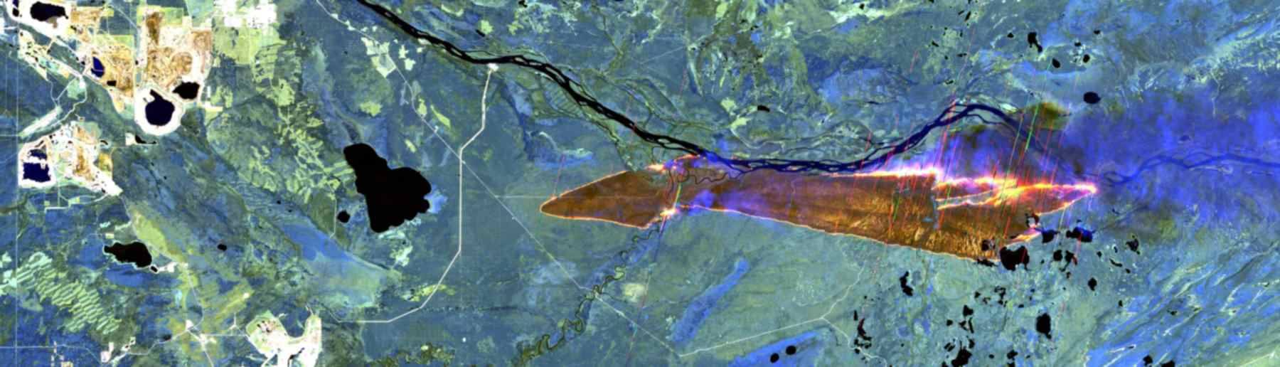
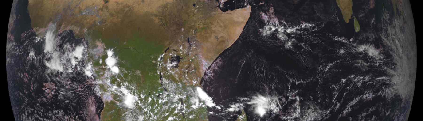
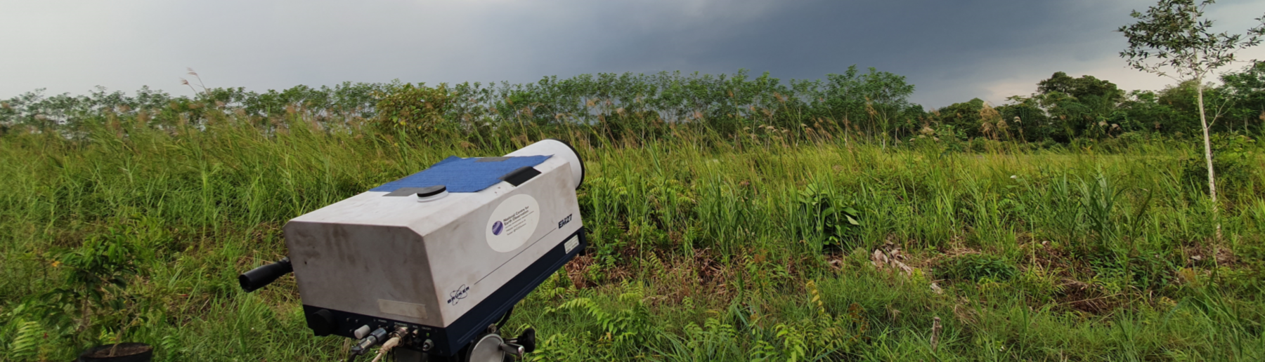
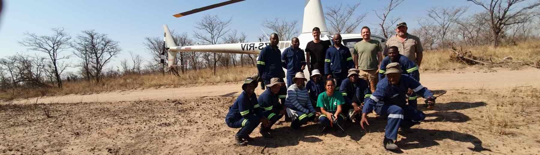
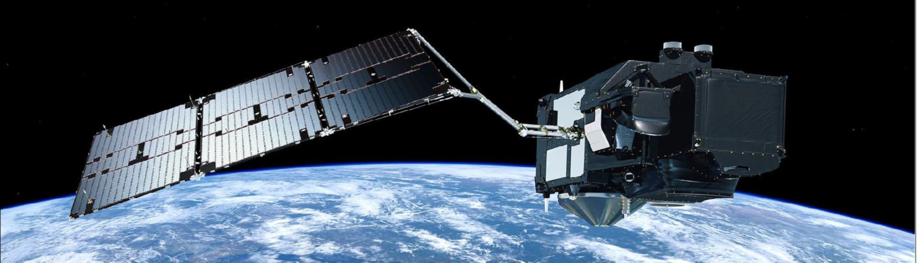
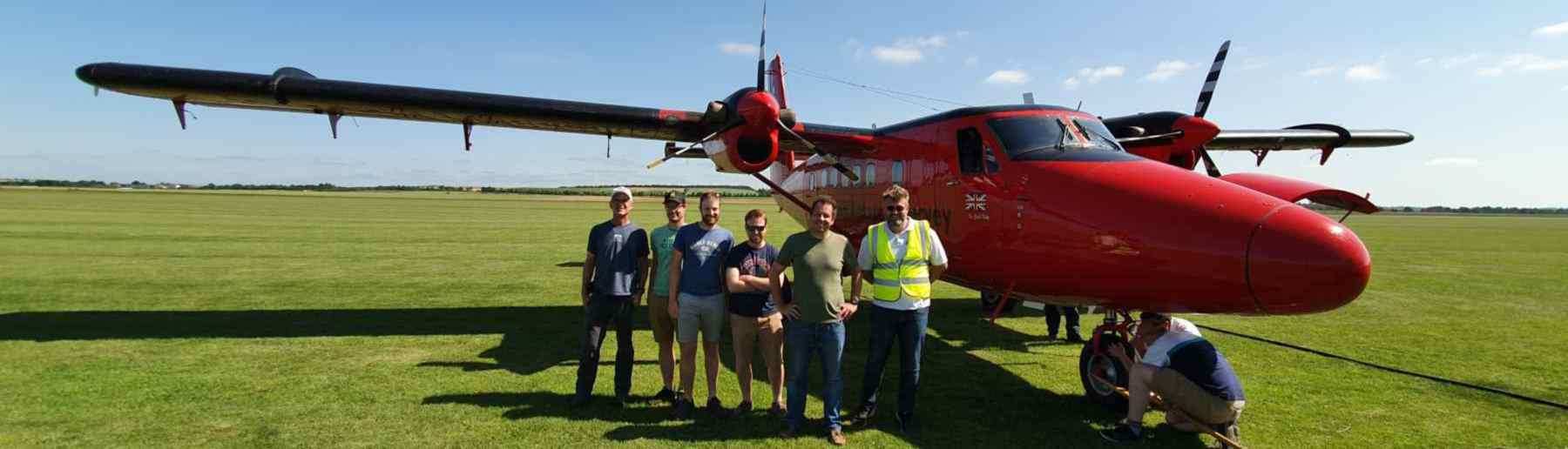
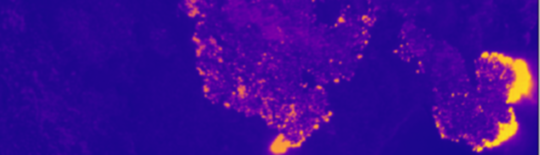
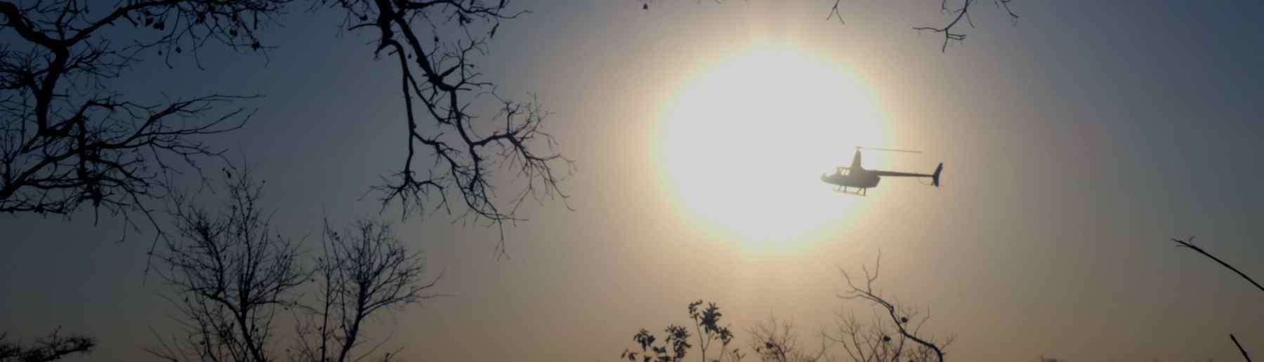
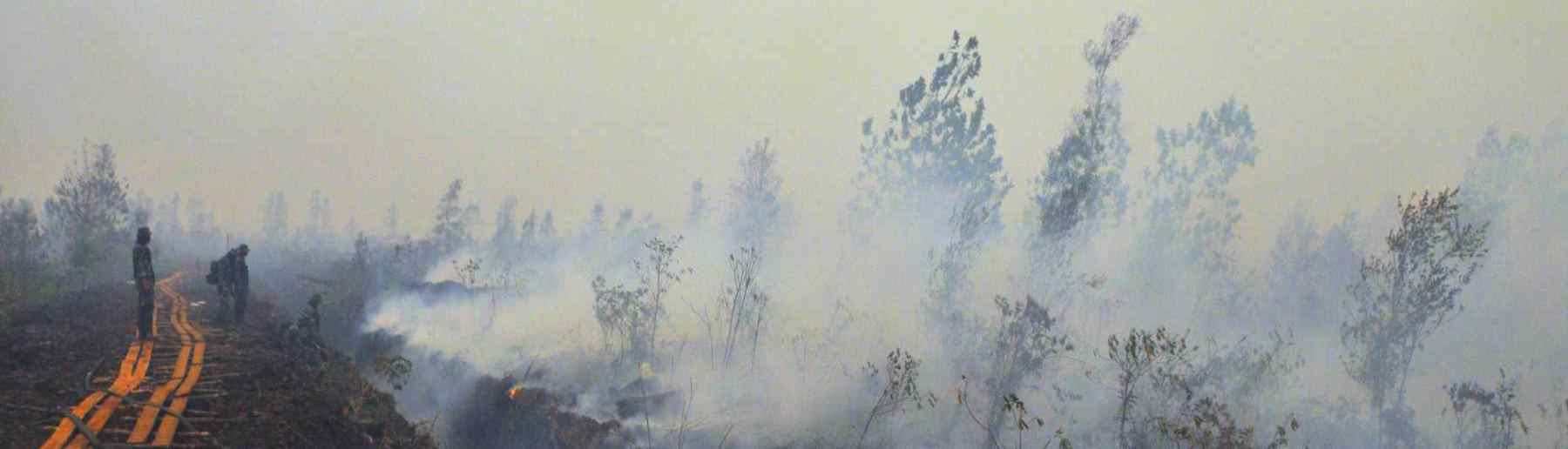
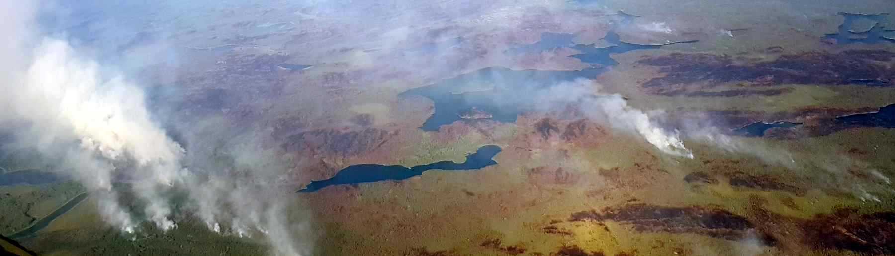
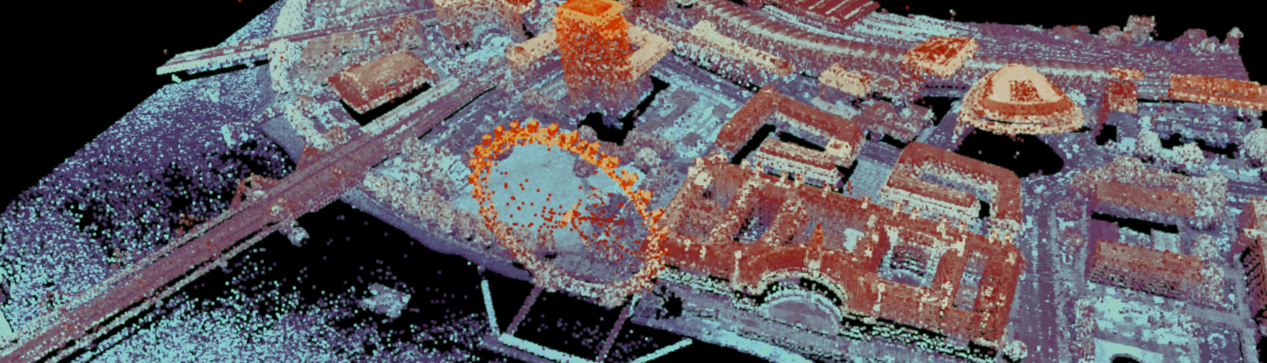
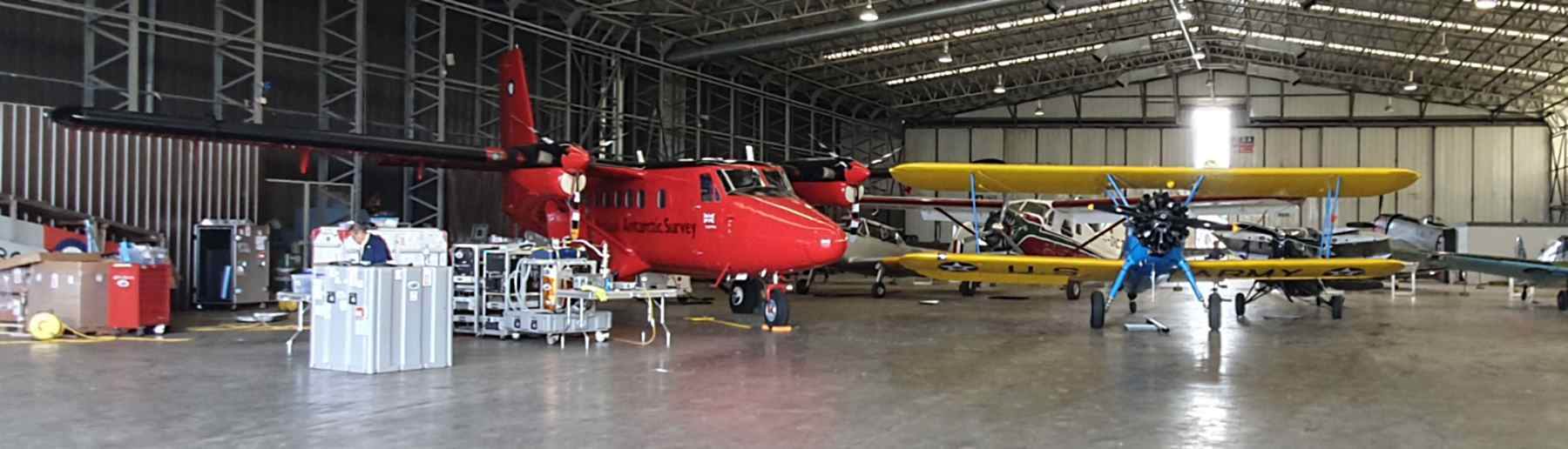
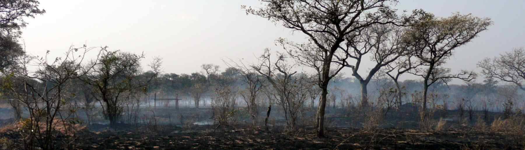
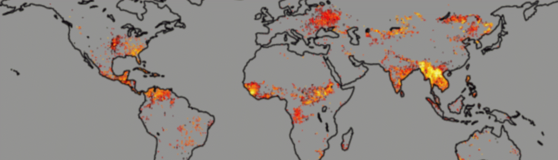
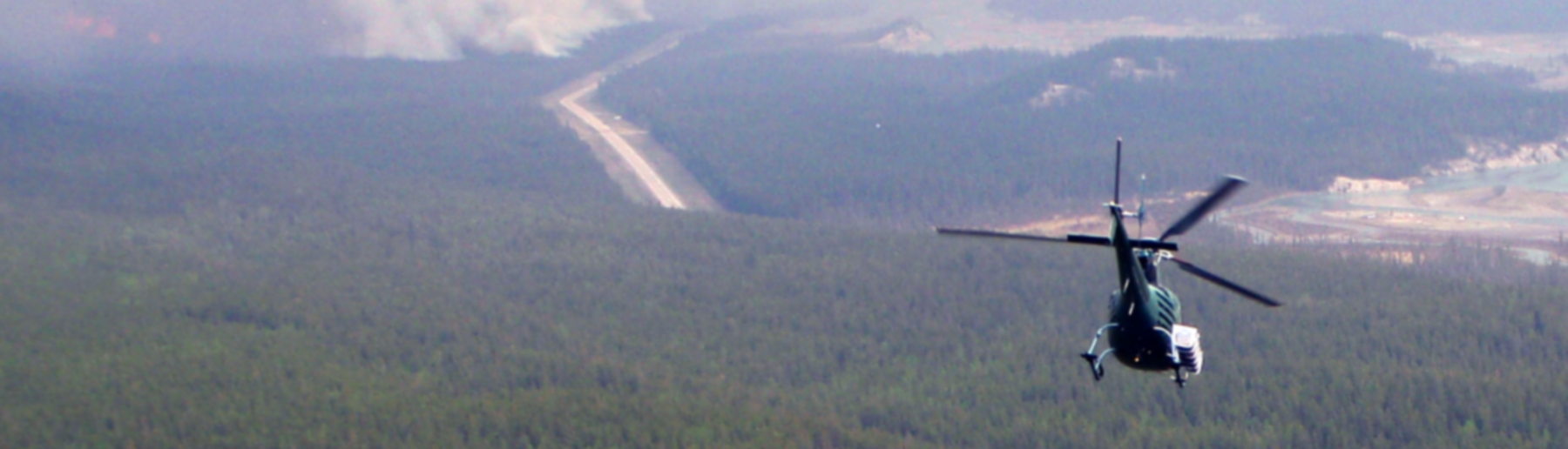
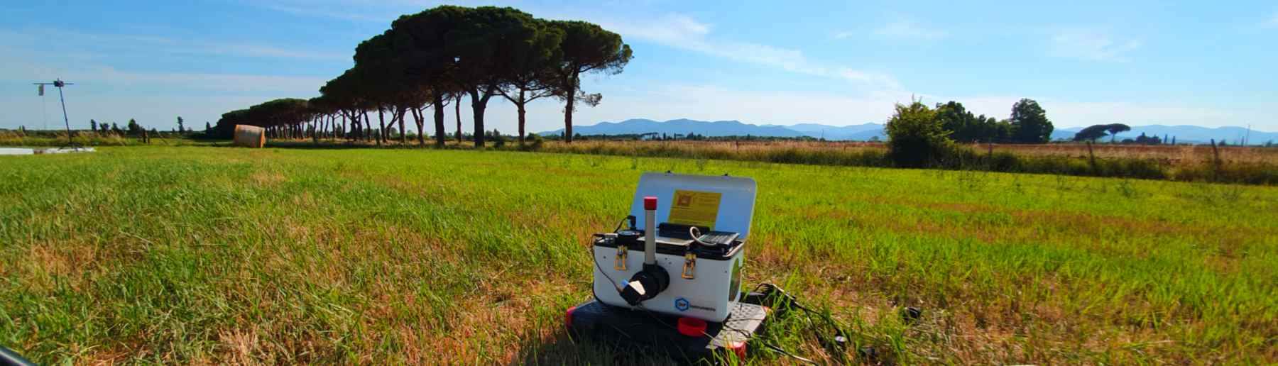
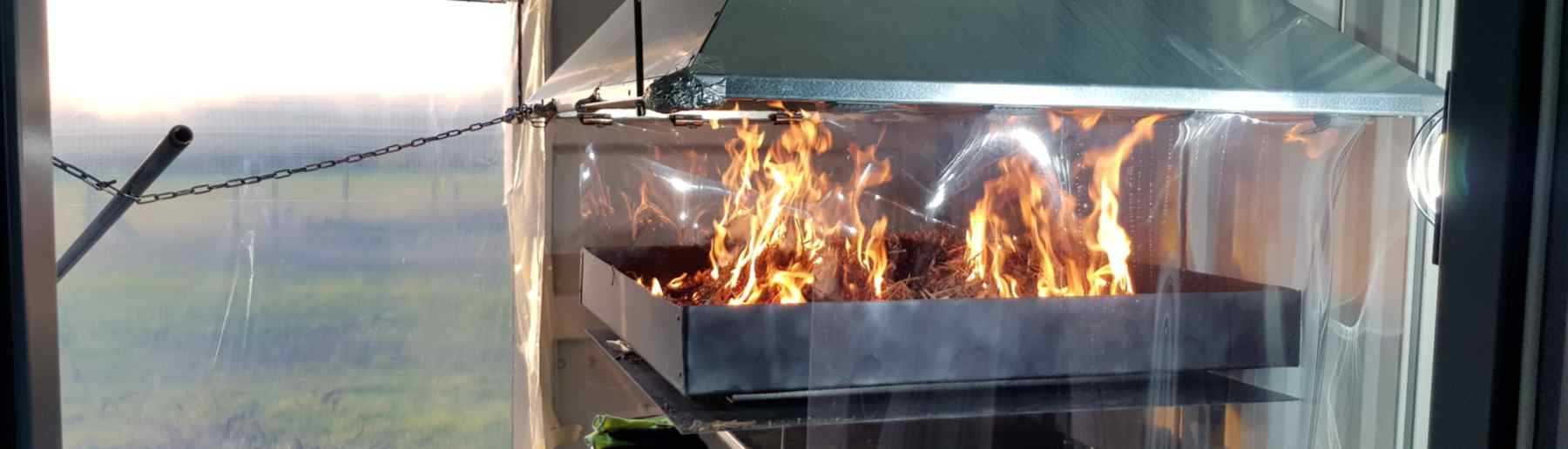
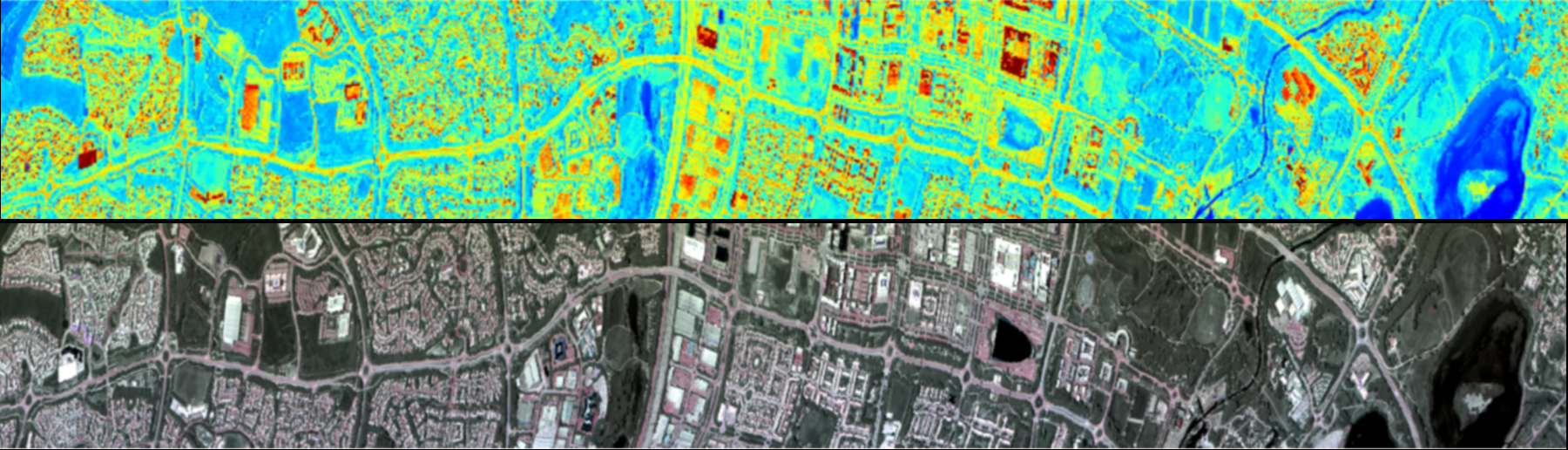
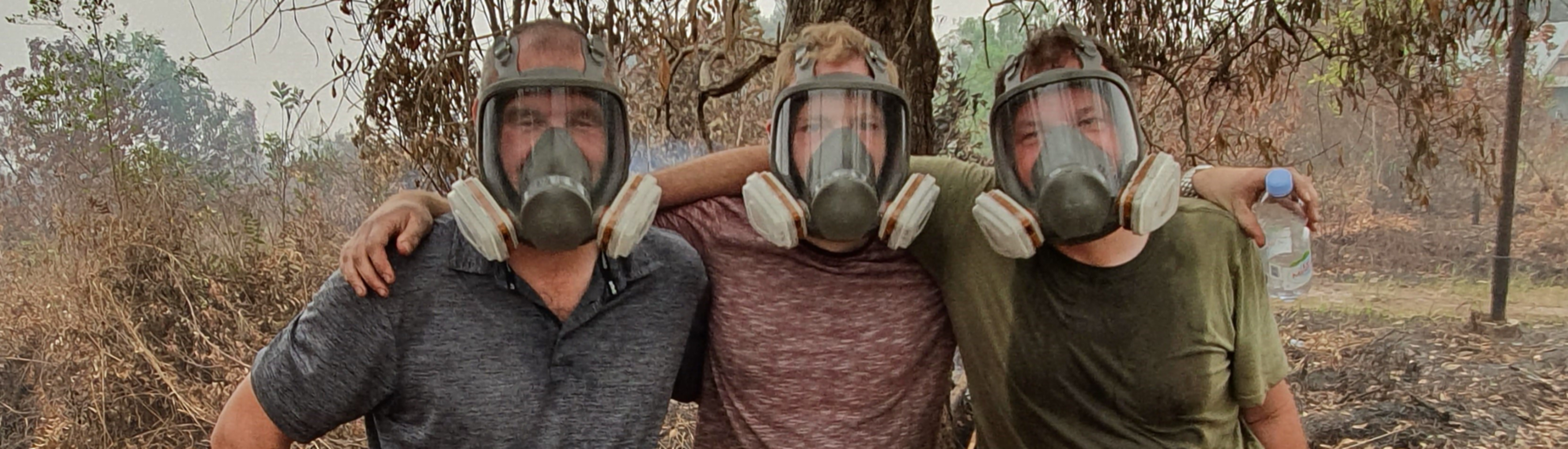
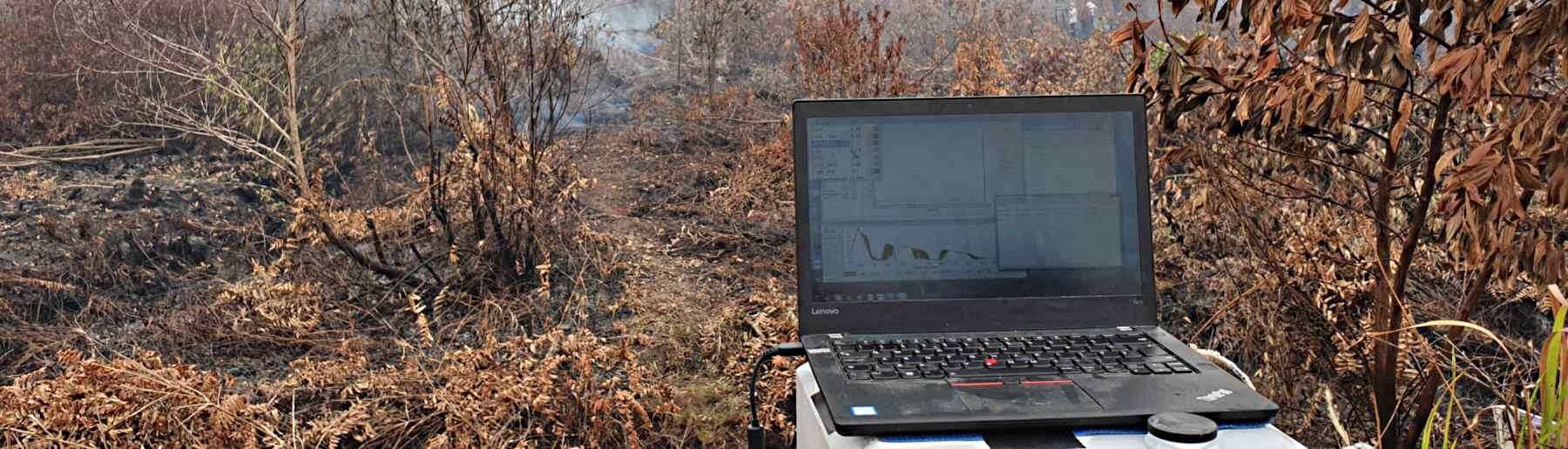
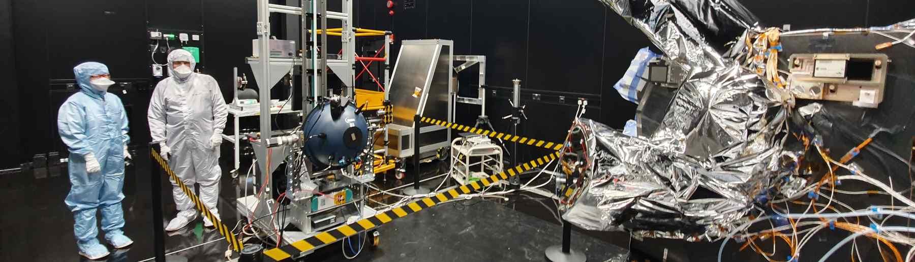
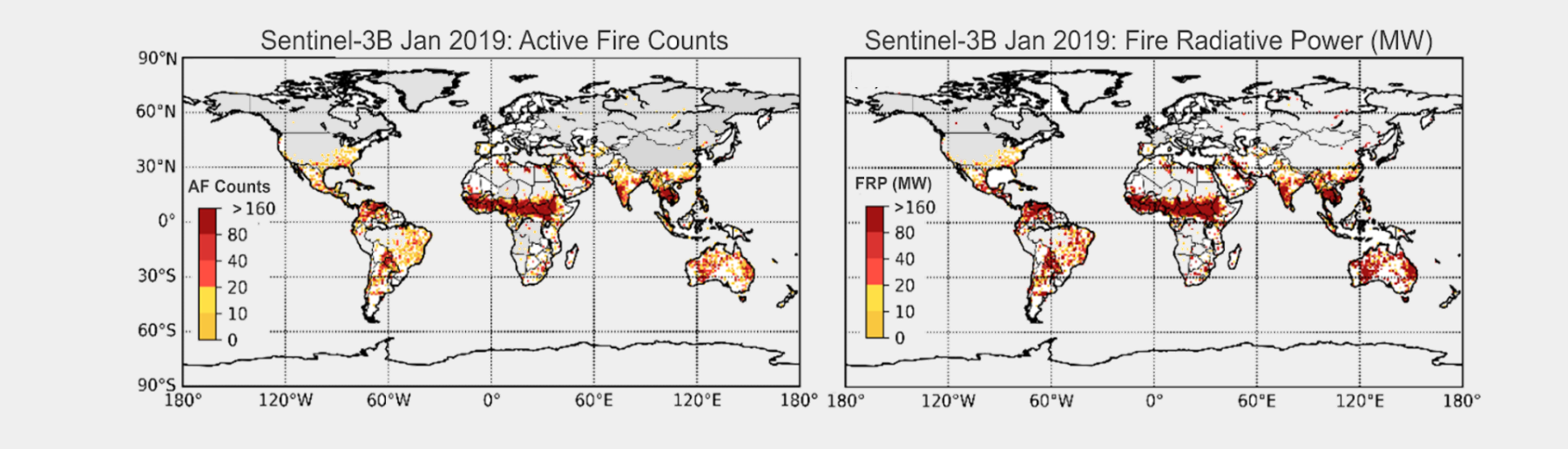
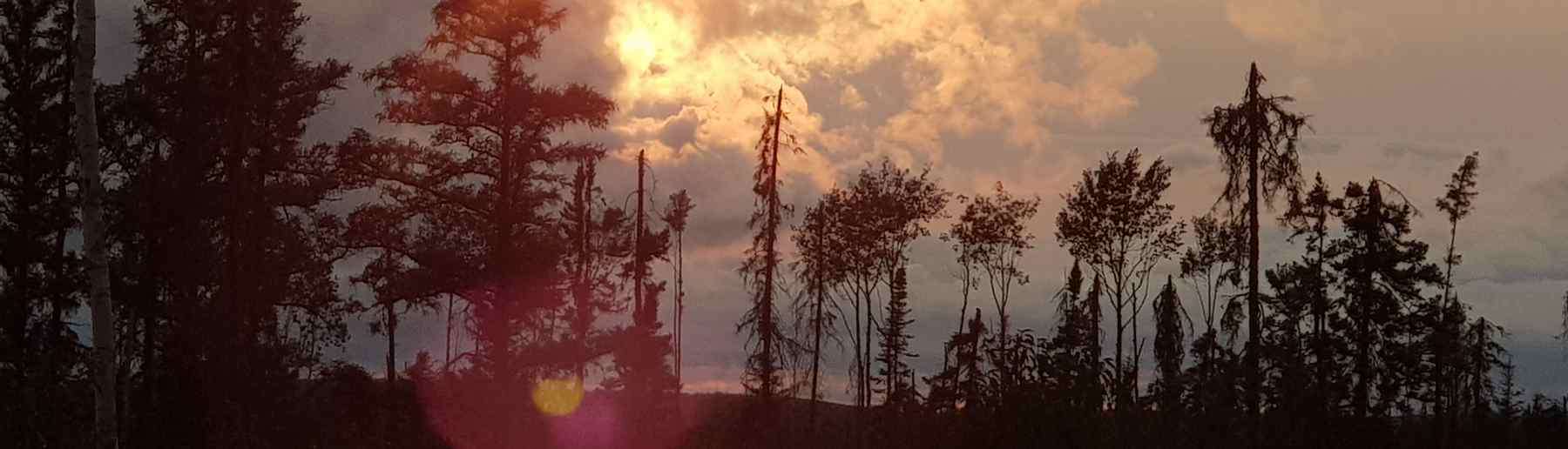
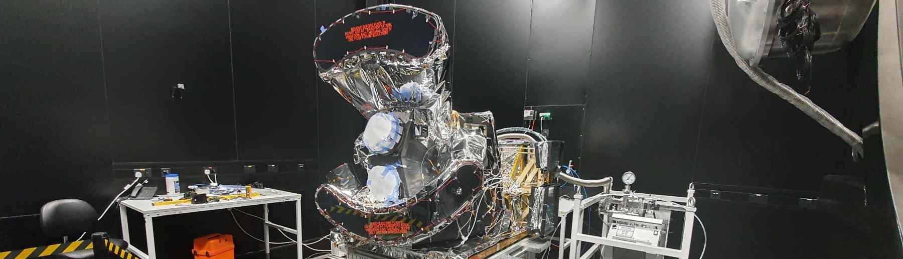
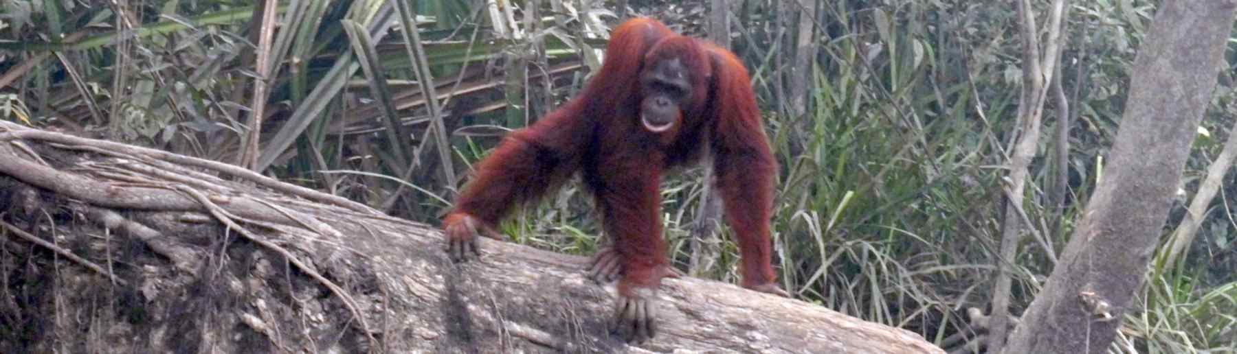

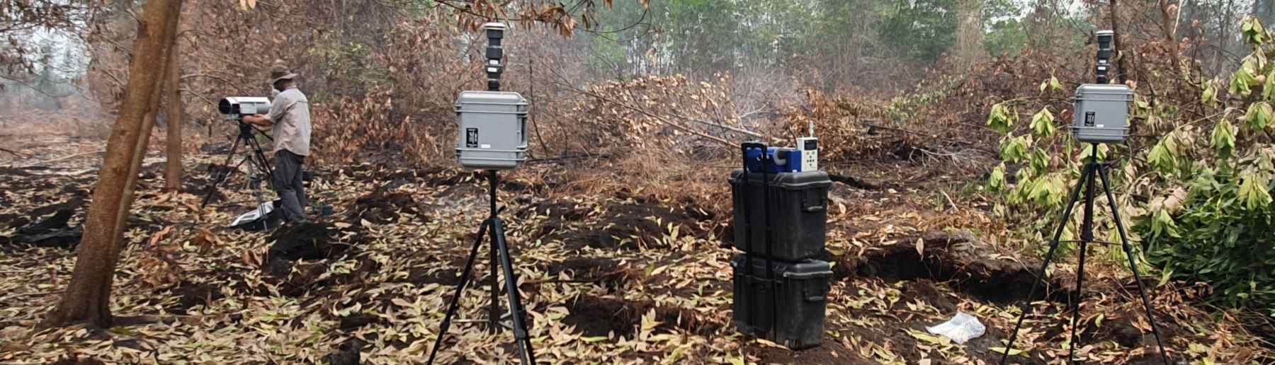
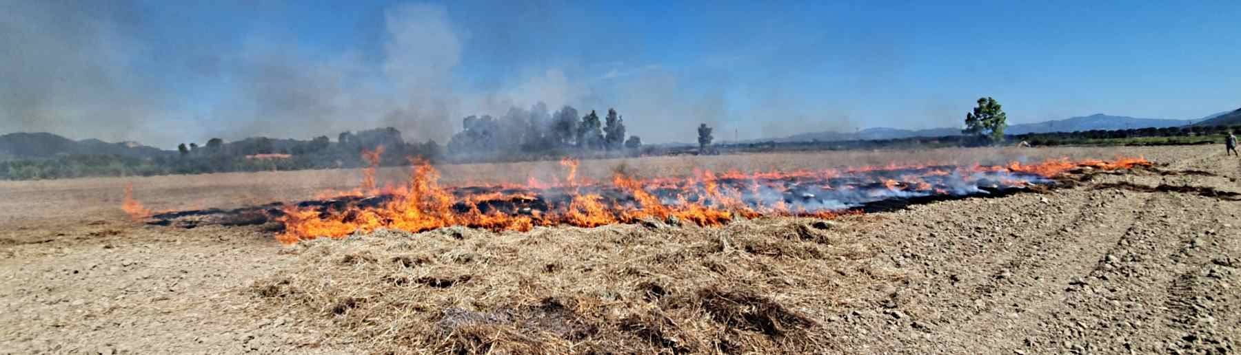
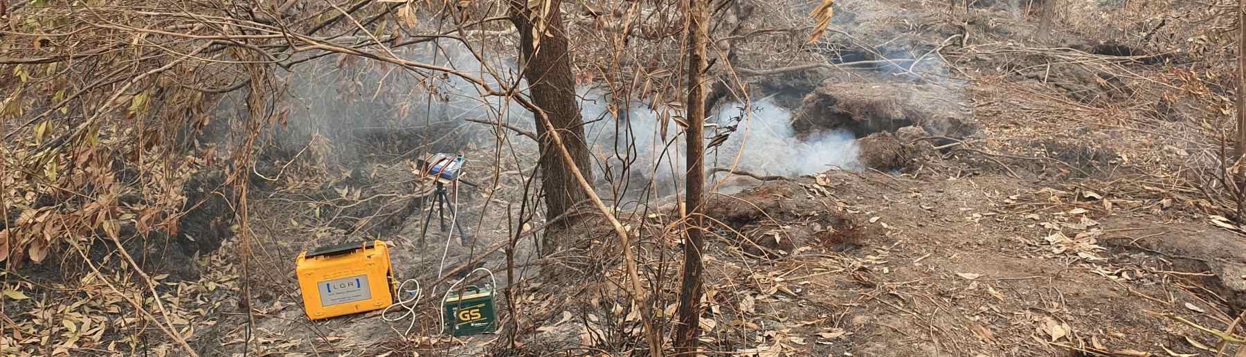
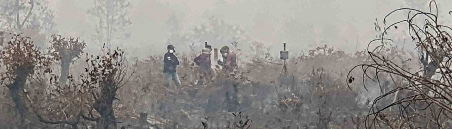
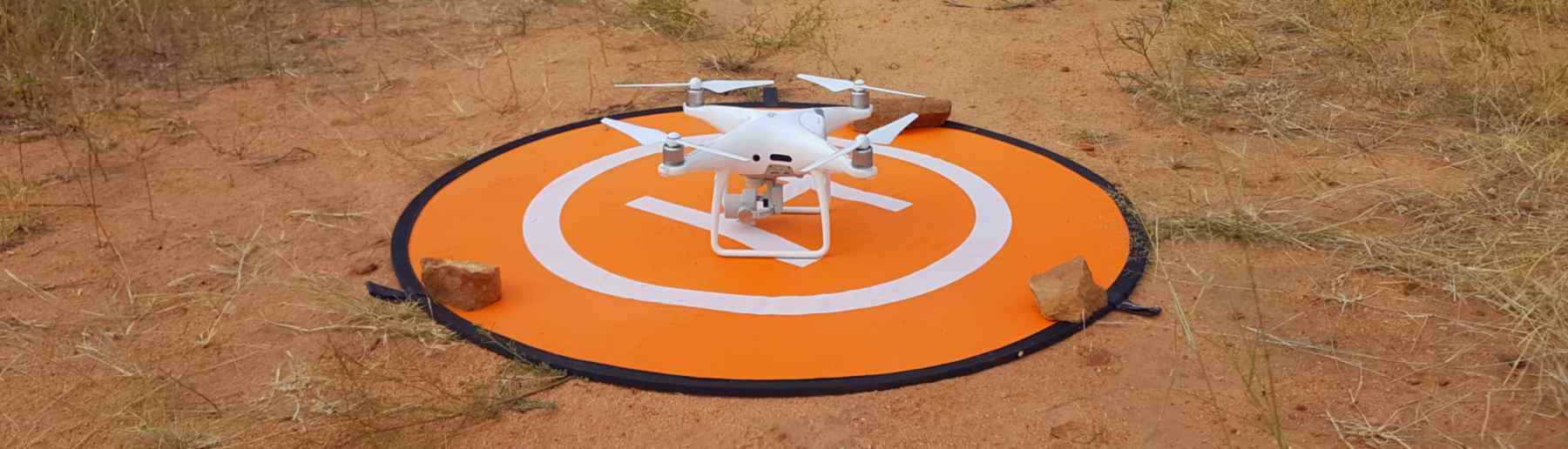
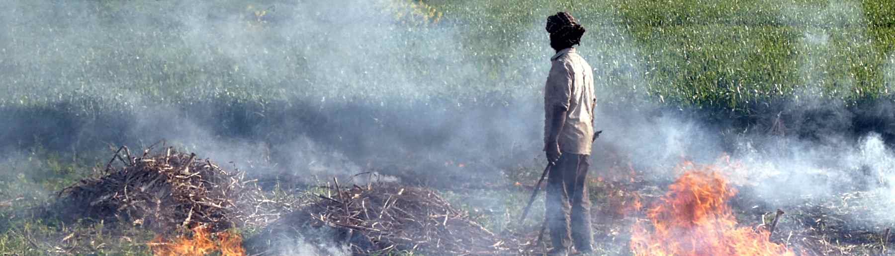
Welcome to the Earth Observation and Wildfire Research Group, based within King’s College London’s Department of Geography. You can find an introductory video describing some of our work below, which shows how we develop and exploit satellite data products, operate remote sensing instruments on both manned aircraft platforms and UAVs, use simulation modelling, and deploy a vast array of instrumentation both in the field and within laboratories. Our Wildfire Testing [combustion] Chamber for example allows us to study fire and calibrate and test new ways of measuring fire and fire emissions prior to field campaigns. Please take a look around, and if you are interested in collaborating, working or studying with us, or want to learn more, feel free to contact us through Prof. Martin Wooster (martin.wooster@kcl.ac.uk). All our work is performed as part of leading roles we have within two national research centres:
(i) NERC National Centre for Earth Observation (NCEO), which provides the UK’s Natural Environment Research Council with national capability in Earth observation science – developing and applying ways to better understand and monitor the state of our planet through satellite instruments, environmental modelling, data assimilation and other associated approaches.
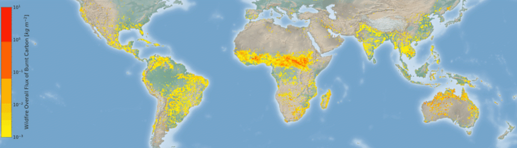
(ii) Leverhulme Centre for Wildfires, Environment and Society, which aims to provide a step-change in the scientific understanding of the drivers of landscape fire around the world, and how these and the impact that fire has on landscapes, the carbon cycle, air quality, health and other aspects of the Earth system might change with varying climate, human and environmental pressures.
![]()

King’s College London, Bush House (NE wing), 30 Aldwych, London, WC2B 4BG